What is recorded here
Fairy fort / earthen ringfort in Carns (leyny By.) is a fairy fort or earthen ringfort in Carns (leyny By.), County Sligo, Ireland. It occupies flat dry pasture above a gentle south-facing slope descending to bog. The raised circular area measures 31 metres north-south and 30 metres east-west, defined by a scarp reaching one metre in height. Its slightly concave interior is grass-covered, poached by cattle, and marked by a field boundary skirting the eastern and western edges.
In flat dry pasture, above a gentle S-facing slope down to bog. A raised circular area (31m N-S; 30m E-W) defined by a scarp (max. H 1m). The interior is slightly concave. According to local information, the interior has been ploughed in the past. A field boundary skirts the scarp E-WSW. The interior is grass-covered and poached by cattle.
The above description is derived from the published 'Archaeological Inventory of County Sligo' compiled by Ursula Egan, Elizabeth Byrne, Mary Sleeman with Sheila Ronan and Connie Murphy (Dublin Stationery Office, 2005).
Date of upload: 18 January 2008
The monument record does not grant public access. Check the route and ask the landowner before entering private land.
- What survives
- Recorded monument
Places near here
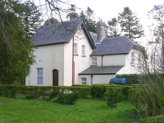 Shooting Lodgehunting/fishing lodge · 360 yd
 Indicated (1838).Fairy fort / earthen ringfort · 371 yd
 LisleaFairy fort / earthen ringfort · 699 yd
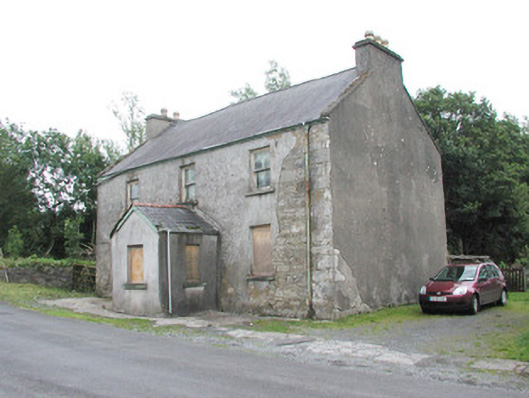 garda station/constabulary barracksgarda station/constabulary barracks · 730 yd
 Castle (in Ruins)Castle, tower house · 1.9 mi
 Castle Carragh in RuinsCastle, unclassified · 2.9 mi
 Lough Talt TrailVisitor information · 4.3 mi
 Carrick WoodWood · 4.3 mi
 KnockasliggaunMountain / peak · 4.7 mi
 New WoodWood · 4.7 mi
 Mass RockNamed rock · 5.1 mi
 Largan HillMountain / peak · 5.3 mi