What is recorded here
In improved pasture, on a very gentle NE-facing slope. An oval area (dims. 22m NE-SW; 14m NW-SE) defined by scarp (Wth 5.5m; H 1.6m), badly eroded in places, particularly at NE, with a small portion of bank (Wth at top 1.15m; overall Wth 3.75m; int. H 0.4m; ext. H 1.4m) around the NE arc. The interior slopes down unevenly to the W. The remains of a townland boundary running NE-SW adjoin the monument at WNW and a ramp-like feature leading up to an entrance gap (Wth 6m) at the W has evolved between the monument and the townland boundary. A stream flowing NW-SE meanders 5m to NE and has been diverted from the E side of the monument and channelled along the field boundary. A gentle scarp encloses a large depression to SW, which may represent a former ox-bow lake. Forestry has been planted to the SE.
Compiled by: Jean Farrelly
Date of upload: 26 August 2011
The monument record does not grant public access. Check the route and ask the landowner before entering private land.
- What survives
- Recorded monument
Places near here
 Quarry in CappogeQuarry · 343 yd
 IndicatedEnclosure · 586 yd
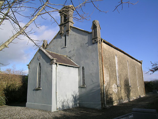 Saint Hugh's Church (Kilvemnon)church/chapel · 669 yd
 Enclosure in MullinahoneEnclosure · 722 yd
 St. Johns Monastery (in ruins)Castle, hall-house · 864 yd
 Fenane WoodForest · 1.5 mi
 European ashEuropean ash · 2.3 mi
 Modeshil Castle (in ruins)Castle · 2.4 mi
 The SpoutMemorial · 2.9 mi
 Killamery High CrossVisitor information · 3.0 mi
 KillameryVisitor information · 3.0 mi
 Knockuragh HillMountain / peak · 3.3 mi