
What is recorded here
In improved pasture, on a very gentle E-facing slope. The remains of a semi-circular quarried depression (map dims. c. 35m WNW-ESE; c. 20m NNE-SSW) excavated (D 1.5-2m) to expose the rock face of the quarry below the townland boundary (long axis WNW-ESE) defining the N side of the quarry. The depression is currently being backfilled at intervals. A limekiln is depicted on the 1st (1840) ed. OS 6-inch map and 'Lime Kiln (Disused)' indicated in the S portion of the quarry on the 25-inch OS 6-inch map.
Compiled by: Jean Farrelly
Date of upload: 26 August 2011
The monument record does not grant public access. Check the route and ask the landowner before entering private land.
- What survives
- Recorded monument
Places near here
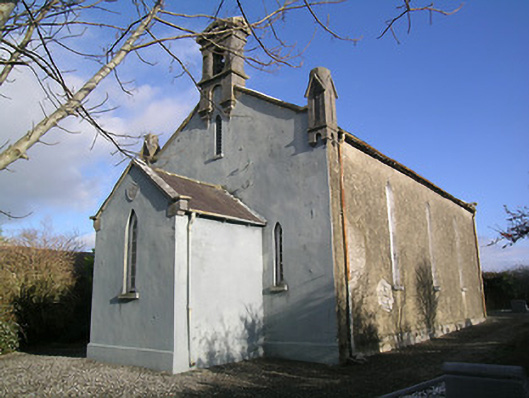 Saint Hugh's Church (Kilvemnon)church/chapel · 331 yd
 IndicatedEnclosure · 348 yd
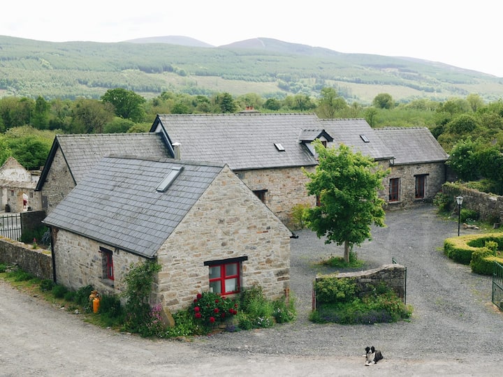 Enclosure in MullinahoneEnclosure · 670 yd
 St. Johns Chapel (in ruins)Chapel · 758 yd
 St. Johns Monastery (in ruins)Castle, hall-house · 785 yd
 Fenane WoodForest · 1.4 mi
 European ashEuropean ash · 2.1 mi
 Modeshil Castle (in ruins)Castle · 2.5 mi
 The SpoutMemorial · 2.9 mi
 Killamery High CrossVisitor information · 3.1 mi
 KillameryVisitor information · 3.1 mi
 Knockuragh HillMountain / peak · 3.1 mi
Other information
Photo: Credit not shown in the picture search · Rights wording not checked; contact us if this picture should be removed