What is recorded here
In level pasture. Identified on an aerial photography (GSI. S. 618/617, 16/04/1974) as a circular cropmark. The poorly preserved remains of levelled, circular area are defined by traces of a very shallow fosse (overall Wth 4.2m; D 0.25m). The monument is incorporated into the field as pasture.
Compiled by: Jean Farrelly
Date of upload: 26 August 2011
The monument record does not grant public access. Check the route and ask the landowner before entering private land.
- What survives
- Recorded monument
Places near here
 Enclosure in BallydonnellEnclosure · 732 yd
 Fenane WoodForest · 974 yd
 Killaghy Castlecountry house · 1376 yd
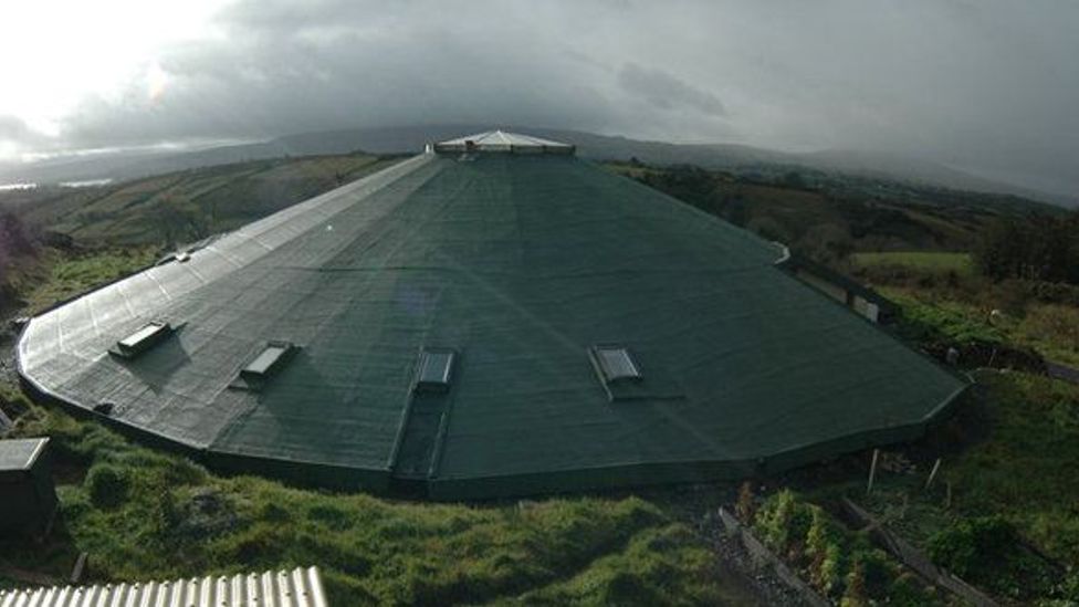 Enclosure in KyleaglannaEnclosure · 1537 yd
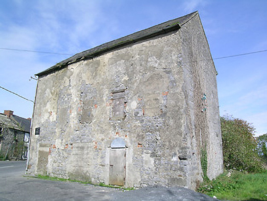 mill (water)mill (water) · 1760 yd
 St. Johns Monastery (in ruins)Castle, hall-house · 1.1 mi
 Modeshil Castle (in ruins)Castle · 1.4 mi
 Knockuragh HillMountain / peak · 2.6 mi
 Pedunculate OakPedunculate Oak · 3.1 mi
 The SpoutMemorial · 4.4 mi
 KillameryVisitor information · 4.4 mi
 Killamery High CrossVisitor information · 4.4 mi