
What is recorded here
In a very poorly drained area of improved pasture, on a W-facing slope. Depicted on the 2nd (1906) ed. OS 6-inch map as a sub-oval enclosure (dims. c. 30m E-W; c. 25m N-S) with a stream, now culverted, flowing c. E-W extending SW from a blocked-up spring within a gentle depression. It is not visible at ground level.
Compiled by: Jean Farrelly
Date of upload: 26 August 2011
A local fairy fort (ringfort/rath); wider significance not recorded.
The monument record does not grant public access. Check the route and ask the landowner before entering private land.
- What survives
- Recorded monument
Places near here
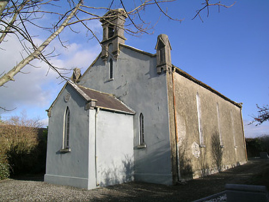 Saint Hugh's Church (Kilvemnon)church/chapel · 284 yd
 Quarry in CappogeQuarry · 348 yd
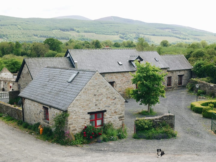 Enclosure in MullinahoneEnclosure · 416 yd
 St. Johns Monastery (in ruins)Castle, hall-house · 491 yd
 Saw Mill (site of)Archaeological place · 642 yd
 Fenane WoodForest · 1.2 mi
 European ashEuropean ash · 2.1 mi
 Modeshil Castle (in ruins)Castle · 2.4 mi
 Knockuragh HillMountain / peak · 2.9 mi
 The SpoutMemorial · 3.0 mi
 Killamery High CrossVisitor information · 3.3 mi
 KillameryVisitor information · 3.3 mi
Other information
Photo: Credit not shown in the picture search · Rights wording not checked; contact us if this picture should be removed