What is recorded here
Situated on a slight rise. Archaeological testing (05E1374) outside the graveyard (MO033-005002-) N-SE identified an area with redeposited soils close to the stream c. 70m NE the present church. A ditch or fosse (Wth of top 1.6m; max. D 0.8m) with silty clay at the base beneath a silty sand with charcoal inclusions was encountered c. 15m SE of the graveyard wall running parallel with its boundary. It may be the same feature identified (Wth of top 1.9m; D 0.6m) NE of the graveyard, and they could form an ecclesiastical enclosure centred on the graveyard. No artefacts were recovered but iron slag was encountered over much of the area. (Mc Loughlin 2006, 5-7)
Compiled by: Michael Moore
Date of upload: 14 January 2020
The monument record does not grant public access. Check the route and ask the landowner before entering private land.
- What survives
- Recorded monument
Places near here
 Chruch YardGraveyard · 13 yd
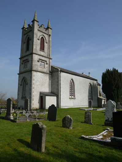 Saint Molua's Church (Magheracloone)church/chapel · 27 yd
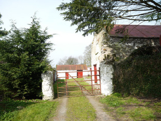 Drummond Cottagefarmyard complex · 212 yd
 Enclosure in DrummondEnclosure · 929 yd
 Drumerlough MoreMountain / peak · 1.2 mi
 Natural Play AreaMemorial · 1.5 mi
 Horse-chestnutHorse-chestnut · 1.5 mi
 Castle ruinsCastle, unclassified · 1.6 mi
 In Memory of Our DadMemorial · 1.6 mi
 Dún a Rí Forest ParkForest · 1.7 mi
 CabraMountain / peak · 1.9 mi
 Castle in ruinsCastle, unclassified · 3.9 mi