What is recorded here
On a gentle S-facing slope with rock outcrop. Crescent-shaped grass-covered earth and stone mound (diam. 11.3m NW-SE; 10m NE-SW; max. H 1.2m) which has a large quarry (diam. of top c. 9m; diam. of base 4m; D 0.4-1.2m) at the centre and a gap (Wth 1.1m) between the horns at SE. Passage tomb (RO028-134---) is 80m to the S. The cairn is on the perimeter of a field of field system (RO028-233001-). It is listed as a possible passage tomb (de Valera and O'Nuallain 1972, 141-2).
Compiled by: Michael Moore
Date of upload: 24 August 2010
See linked document with details from Ruaidhrí de Valera and Seán Ó Nualláin, Survey of the Megalithic Tombs of Ireland. Volume III. Counties Galway, Roscommon, Leitrim, Longford, Westmeath, Laoighis, Offaly, Kildare, Cavan. (Dublin: Stationery Office, 1972).
A Neolithic cairn, likely dating to the Early to Middle Neolithic period (c. 4000–3000 BCE), representing a type of funerary or ritual monument common in Atlantic Europe. Its location on a south-facing slope and association with a quarry suggest it may have had a symbolic or practical role in the landscape.
The monument record does not grant public access. Check the route and ask the landowner before entering private land.
- What survives
- Recorded monument
Places near here
 IndicatedFairy fort / earthen ringfort · 358 yd
 Enclosure in CorkerEnclosure · 1195 yd
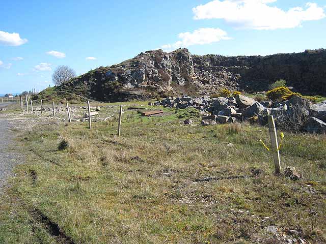 Quarry in BallydalyQuarry · 1620 yd
 KilnKiln, corn-drying · 1658 yd
 Cruachan Aí Heritage CentreMuseum · 2.0 mi
 CastleCastle, unclassified · 2.0 mi
 ToberagullaSpring · 2.5 mi
 European ashEuropean ash · 2.5 mi
 Leitrim CastleCastle, unclassified · 3.5 mi
 Sweet ChestnutSweet Chestnut · 5.6 mi
 Roscommon CastleCastle · 8.3 mi
 FerrinchIslet · 11 mi