What is recorded here
Half a meter high and swallowed by gorse, the oval cairn sits on a sunny slope beside its smaller neighbour sixteen meters away. Both markers have watched the cutaway bog deepen and the old field lines fade for generations. They are small enough to miss and old enough to matter, waiting for someone to kick back the sod and remember what they marked.
In rough hill pasture, in an area of cutaway bog, on a SE-facing slope and within a network of relict field boundaries (CO115-106004-). This oval-shaped cairn (4m NW-SE; 2.9m NE-SW; H 0.55m) is largely obscured by gorse-covered sod, though some stones are exposed along the SE arc. There is another cairn (CO115-106006-) situated 16m to the NE.
The above description is derived from 'The Archaeological Inventory of County Cork. Volume 5' (Dublin: Stationery Office, 2009).
Date of upload: 22 December 2009
The monument record does not grant public access. Check the route and ask the landowner before entering private land.
- What survives
- Recorded monument
Places near here
 Hut site in Rossmackowen CommonsHut site · 237 yd
 CairnCairn, unclassified · 273 yd
 Holly HillMountain / peak · 661 yd
 Mass-house in ShanacoumhaMass-house · 1463 yd
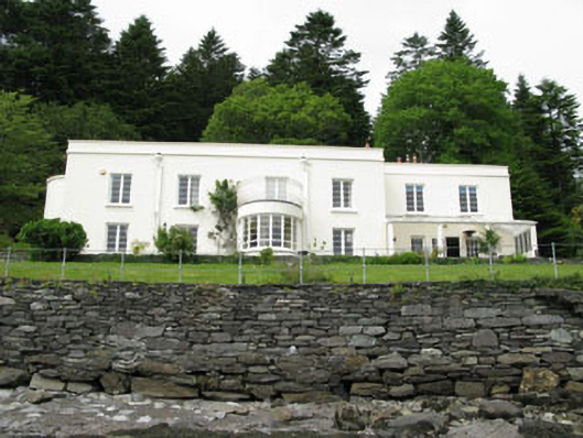 Waterfall Househouse · 1.0 mi
 TrawnablahaBeach / strand · 1.1 mi
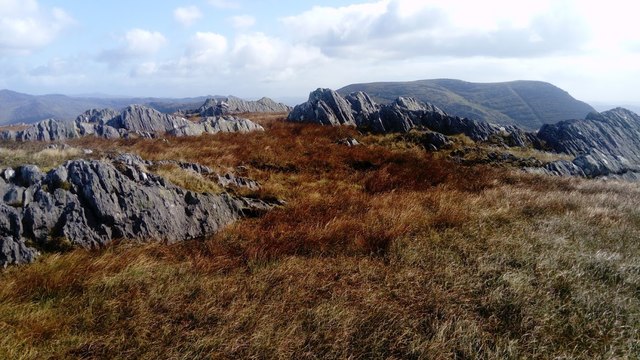 KnocknagreeMountain / peak · 1.6 mi
 Turk IslandIslet · 2.3 mi
 Rerrin LoopWalking route · 2.6 mi
 Mare's Tail WaterfallViewpoint · 2.8 mi
 Beara WayWalking route · 2.9 mi
 Minane IslandIslet · 3.0 mi