What is recorded here
Fire stripped the hill and revealed a forgotten chamber. Stones still lie scattered across the south slope, waiting to be remembered. What the flames took from the trees, they returned to the dead.
Situated in the S slope of Piperstown Hill. A cairn known as Site F. ‘Site F: An irregular cairn of stones. It averages about 5-50 m. in diameter and varies between about 20 cm. and 30 cm. in height. At its north-western edge are four large stones, some or all of which may be kerbstones’ (Rynne and Ó hEailidhe 1965, 64). It was discovered after a forest fire on Piperstown Hill. This is part of an extensive settlement and cemetery of Late Neolithic/Early Bronze Age date.
Compiled by: Paul Walsh and Padraig Clancy
Revised upload on: 8 July 2018
A Neolithic cairn; likely dates to the 4th–3rd millennium BCE. Its presence indicates early settlement and ritual activity in the Piperstown area.
The monument record does not grant public access. Check the route and ask the landowner before entering private land.
- What survives
- Recorded monument
Places near here
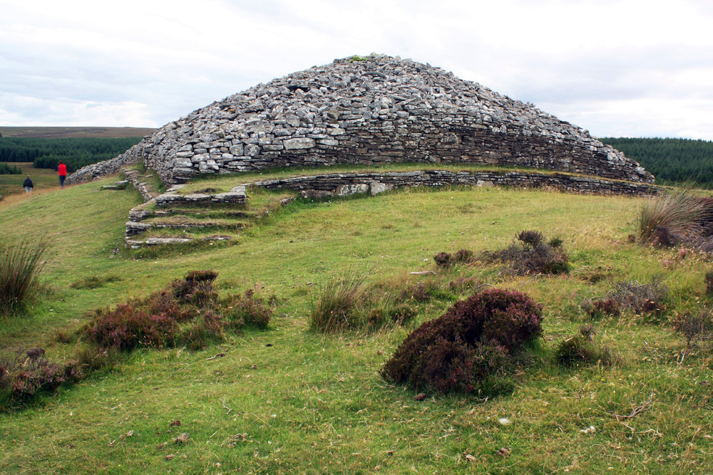 CairnCairn, burial cairn · 6 yd
 Habitation site in PiperstownHabitation site · 16 yd
 Ice HousesRuins · 303 yd
 SpinkeenMountain / peak · 481 yd
 Featherbed ForestForest · 784 yd
 Saint Ann's WellSpring · 871 yd
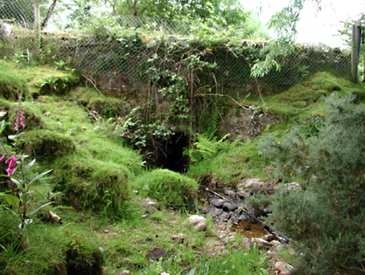 bridgebridge · 926 yd
 Saint Ann's GraveyardRuins · 1064 yd
 Dublin Mountains Way - Hellfire & Massey spurWalking route · 1445 yd
 Dublin Mountains Way Hellfire & Massey SpurWalking route · 1592 yd
 CastleCastle, unclassified · 1666 yd
 Hellfire WoodForest · 1.0 mi