What is recorded here
Cairn Site G is a small disturbed stone circle on the south slope of Piperstown Hill in County Dublin, belonging to a Late Neolithic and Early Bronze Age settlement and cemetery. It measures about three metres across, rises no higher than twenty-five centimetres, and contains an eighty-centimetre central hollow that suggests later interference rather than deliberate design. A forest fire exposed the stones, but the missing kerb and central gap leave its original purpose uncertain.
Situated on the S slope of Piperstown Hill it was discovered after a forest fire. A cairn known as Site G. ‘Site G: Little more than a roughly circular concentration of stones. It averages about 3m. in diameter and is about 25 cm in maximum height. At its centre is a hollow about 80 cm. in diameter, which suggests that this cairn has been disturbed. No evidence of a kerb. A large boulder in its north-eastern quarter appears to be a natural feature’ (Rynne and Ó hEailidhe 1965, 64). This is part of an extensive settlement and cemetery dating to the Late Neolithic/Early Bronze Age.
Compiled by: Paul Walsh and Padraig Clancy
Revised upload on: 8 July 2018
A Neolithic cairn; date uncertain but likely early first millennium BCE. Its survival despite the forest fire offers potential for future investigation into local funerary practices.
The monument record does not grant public access. Check the route and ask the landowner before entering private land.
- What survives
- Recorded monument
Places near here
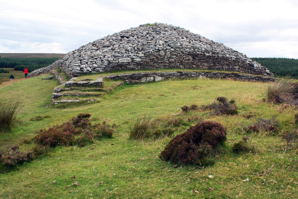 CairnCairn, burial cairn · 4 yd
 Habitation site in PiperstownHabitation site · 7 yd
 Ice HousesRuins · 309 yd
 SpinkeenMountain / peak · 490 yd
 Featherbed ForestForest · 780 yd
 Saint Ann's WellSpring · 872 yd
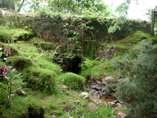 bridgebridge · 920 yd
 Saint Ann's GraveyardRuins · 1064 yd
 Dublin Mountains Way - Hellfire & Massey spurWalking route · 1448 yd
 Dublin Mountains Way Hellfire & Massey SpurWalking route · 1595 yd
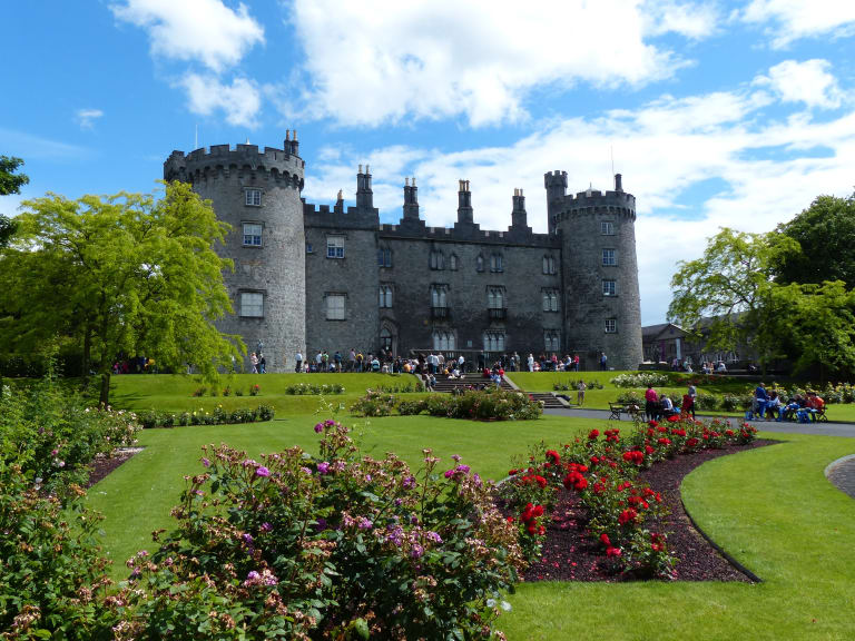 CastleCastle, unclassified · 1659 yd
 Hellfire WoodForest · 1.0 mi