What is recorded here
Cairn is a cairn, unclassified in Knoxspark, County Sligo, Ireland. The easternmost of two cairns discovered during the 1994 excavation, it sits in the centre of a burial ground inside the inland promontory fort. Cremated human bone dated to 680 to 880 cal. AD emerged from a small stone depression on its surface, while chert, flint, iron nails and a decorated gold and amber disc joined the finds.
In the centre of a burial ground (SL020-166002-) which is located in the interior of the inland promontory fort (SL020-166001-). The easternmost of two cairns (see SL020-166009-) discovered and partially excavated during excavation of the complex in 1994 (Mount 1995d, 78-9; 2002, 103-116). A roughly circular cairn (4.5m E-W; 4.2m N-S; max. H 0.54m) situated on the old ground surface, directly under the sod layer, consisting of limestone boulders and flat slabs in a matrix of dark brown humus. A substantial quantity of stone immediately to the E of the cairn may have been tumble from it thus reducing the height of the cairn somewhat. Cremated human bone and charcoal flecks were found on the surface of the cairn directly under the sod but the bulk of it was recovered from a small depression formed by a number of stones. This cremation has been dated to 680 to 880 cal. AD (Mount 2002, 114). Finds included chert, flint, iron nails and a decorated gold and amber disc. In contrast to the surrounding burial ground, no inhumation burials were found in the old ground surface beneath the cairn which 'probably indicates that this feature pre-dates the inhumations' (ibid., 107). The E and W cairns were linked by a 6m long arrangement of angular stones on the northern side, possibly a wall footing, which continued to the E as a collapsed wall partly enclosing the eastern cairn.
The above description is derived from the published 'Archaeological Inventory of County Sligo' compiled by Ursula Egan, Elizabeth Byrne, Mary Sleeman with Sheila Ronan and Connie Murphy (Dublin Stationery Office, 2005).
Date of upload: 18 January 2008
This monument is subject to a preservation order made under the National Monuments Acts 1930 to 2014 (PO no. 1/1995).
The monument record does not grant public access. Check the route and ask the landowner before entering private land.
- What survives
- Recorded monument
Places near here
 IndicatedPromontory fort, inland · 23 yd
 The Thatchhouse · 340 yd
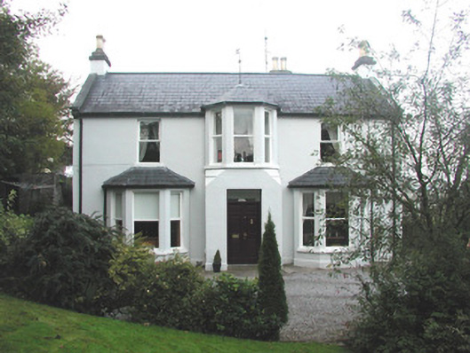 Arrow Lodgerectory/glebe/vicarage/curate's house · 589 yd
 Enclosure in BelladrihidEnclosure · 1244 yd
 CastleCastle, unclassified · 1501 yd
 Union RockForest · 1748 yd
 Battle of Collooneybattle · 1.1 mi
 Teeling MonumentMemorial · 1.1 mi
 BunreecoillMountain / peak · 1.3 mi
 SlievewardMountain / peak · 1.5 mi
 European ashEuropean ash · 2.2 mi
 Castle (Site of)Castle, unclassified · 3.0 mi