What is recorded here
Cairn is a circular stone ring, six metres wide and one and a half metres high, buried under years of grass and forgotten thought in County Carlow. It may have marked a boundary, a burial or a promise, but the stones no longer speak clearly. They only resist forgetting, holding their shape against the land’s tendency to erase what humans touched.
A circular cairn (diam. c. 6m; H c. 1.6m) heavily overgrown. Recorded by Ó Murchú (2011, 82) as part of a Master's thesis (Survey number: C36).
Compiled by: Claire Breen
Date of upload: 11 November 2013
A circular cairn, likely dating to the Neolithic or Early Bronze Age; its significance remains locally constrained with no specific cultural or funerary details recorded.
The monument record does not grant public access. Check the route and ask the landowner before entering private land.
- What survives
- Recorded monument
Places near here
 Enclosure in DranaghEnclosure · 463 yd
 Enclosure in BallycrinniganEnclosure · 596 yd
 CarrigvahanaghMountain / peak · 1736 yd
 White MountainMountain / peak · 1.4 mi
 Saint Moling's Catholic Churchchurch/chapel · 1.6 mi
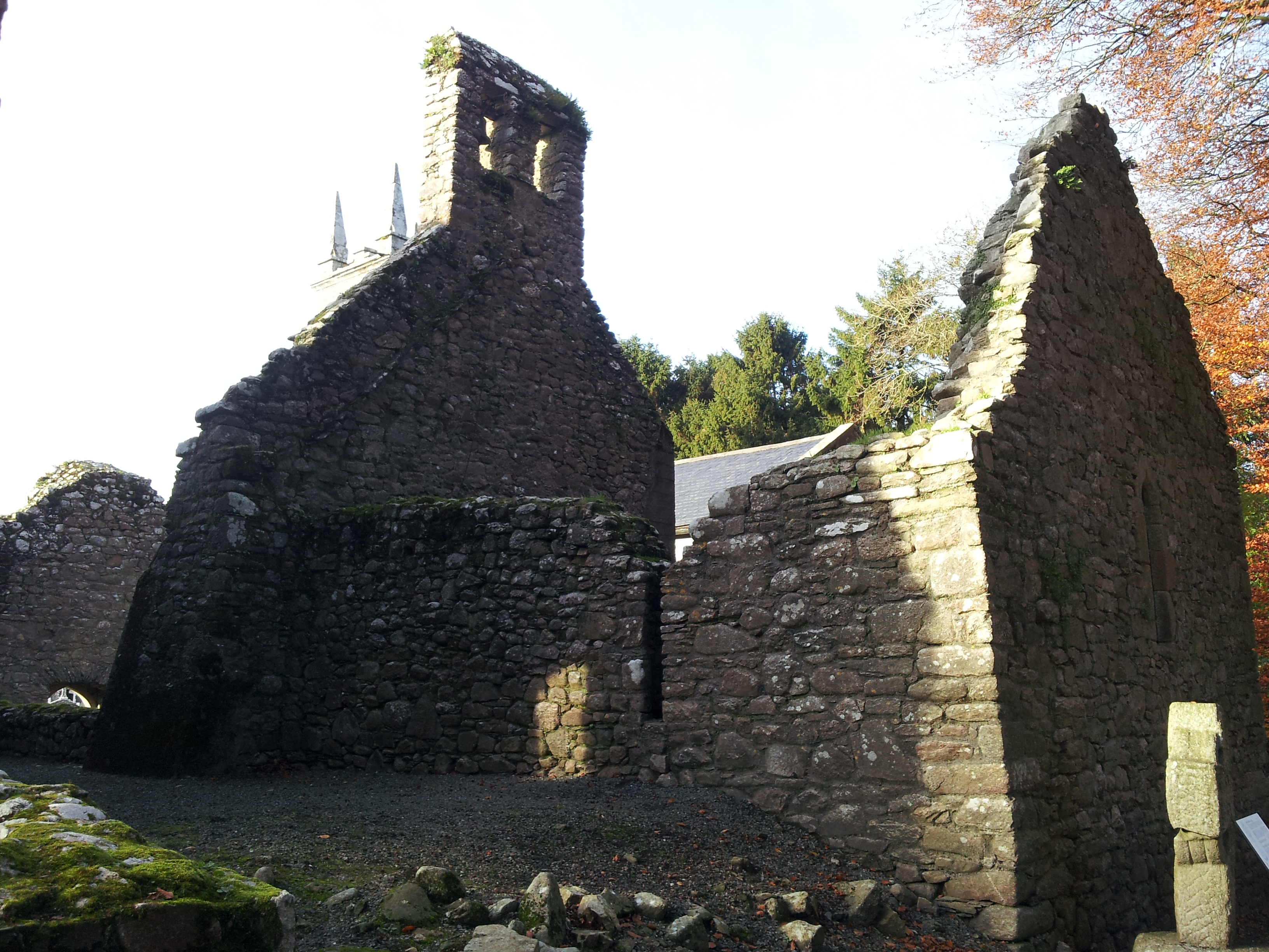 St. Mullins Oratory (in Ruins)Church · 1.8 mi
 Pollmounty Castle (in Ruins)Castle, tower house · 2.3 mi
 Silver WattleSilver Wattle · 2.4 mi
 1798 RebellionMemorial · 2.4 mi
 Graveyard in St. Mullin'sGraveyard · 2.5 mi
 St. Mullins MoatCastle, motte and bailey · 2.5 mi
 Bahana WoodForest · 2.8 mi