What is recorded here
Cairn is a five-metre stone pile on a northwest slope in County Carlow, its boulders buried under thick grass. It belongs to a larger group of unclassified mounds, suggesting a forgotten gathering place rather than a lonely marker. People may have stacked those heavy stones to remember an event, claim a boundary or guide travellers through dark valleys. The grass has since strangled the edges, forcing anyone who touches the pile to pull back vegetation before discovering the true shape hidden beneath the green.
On a NW facing slope, a large cairn (diam. c. 5m; H c. 1m) composed of large boulders and heavily overgrown with grass. Recorded by Ó Murchú (2011, 75) as part of a Master's thesis (Survey number: C22). One of a large group of cairns (see CW026-019----)
Compiled by: Claire Breen
Date of upload: 06 November 2013
A Neolithic cairn; part of a broader funerary or ritual landscape in the Dranagh area. Its construction and location suggest a ceremonial function within early agrarian communities.
The monument record does not grant public access. Check the route and ask the landowner before entering private land.
- What survives
- Recorded monument
Places near here
 Enclosure in DranaghEnclosure · 382 yd
 Enclosure in BallycrinniganEnclosure · 1057 yd
 CarrigvahanaghMountain / peak · 1644 yd
 Saint Moling's Catholic Churchchurch/chapel · 1.5 mi
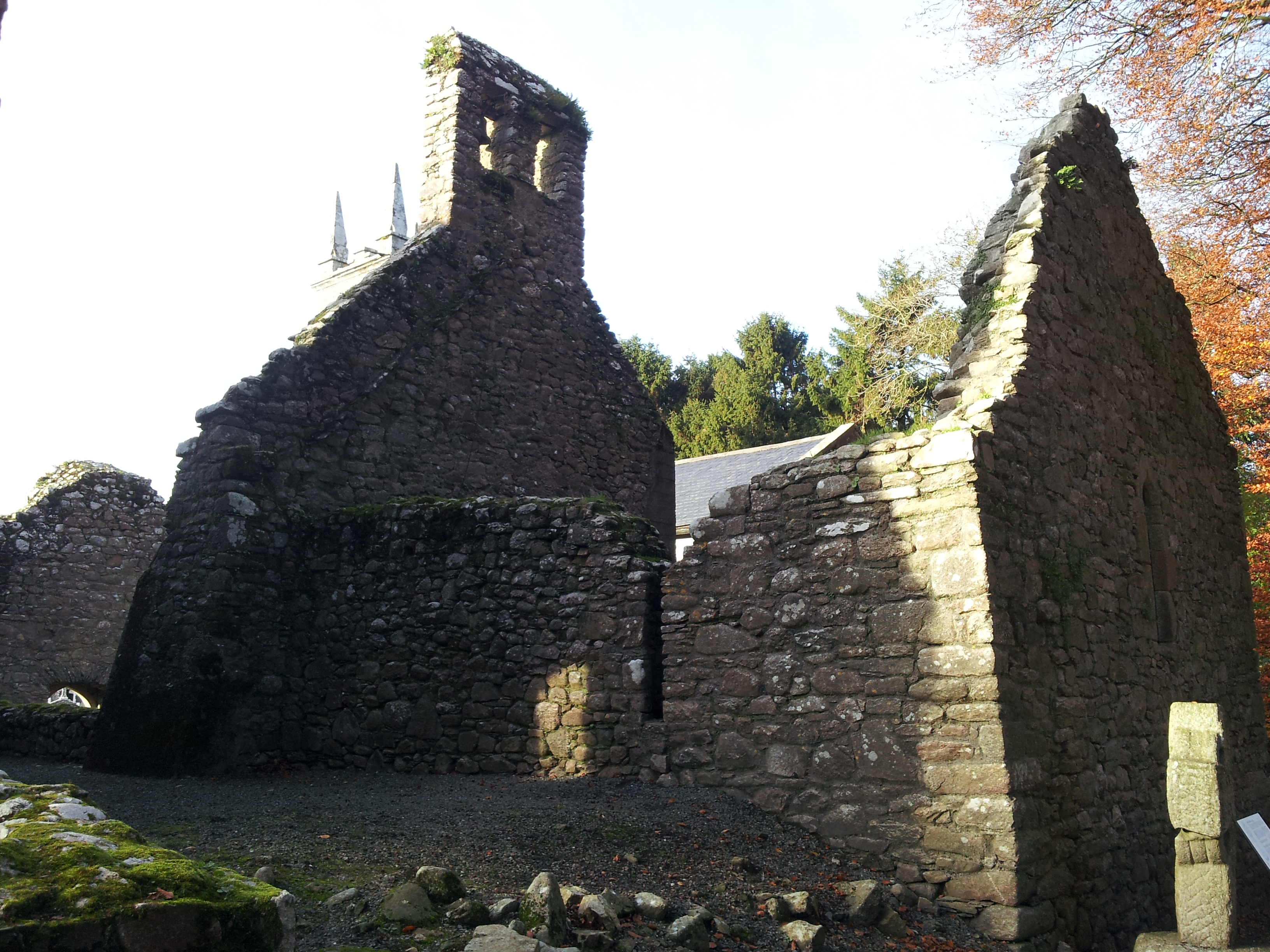 St. Mullins Oratory (in Ruins)Church · 1.6 mi
 White MountainMountain / peak · 1.6 mi
 Pollmounty Castle (in Ruins)Castle, tower house · 2.0 mi
 Silver WattleSilver Wattle · 2.1 mi
 Graveyard in St. Mullin'sGraveyard · 2.3 mi
 1798 RebellionMemorial · 2.3 mi
 St. Mullins MoatCastle, motte and bailey · 2.3 mi
 Bahana WoodForest · 2.6 mi