What is recorded here
An extensive field system (c. 6.6km W-E; c. 1.3km N-S) stretching from just N of Lisdoonvarna at W to Cahermacnaghten and Lissylisheen at E. The fields are irregular and are associated with some 28 cashels and 16 enclosures. Named cashels spread across the area include Caherbarnagh (CL008-047----), Cahermakerrila (CL009-001005-), Cahermaan (CL009-001007-), Cahermacnaghten (CL009-001010-), Caheridoula (CL009-001015-) and Lissylissheen (CL009-001016-). Also in this area are ‘Cowelteebrack’ (CL009-001009-), the 15th-16th schoolhouse SW of Cahermacnaghten and used in the 17th century as a residence along with other 16th/17th century houses.
Compiled by: Mary Tunney
Date of upload: 30 August 2021
The monument record does not grant public access. Check the route and ask the landowner before entering private land.
- What survives
- Recorded monument
Places near here
 Cahermacnaghten CashelHeritage attraction · 557 yd
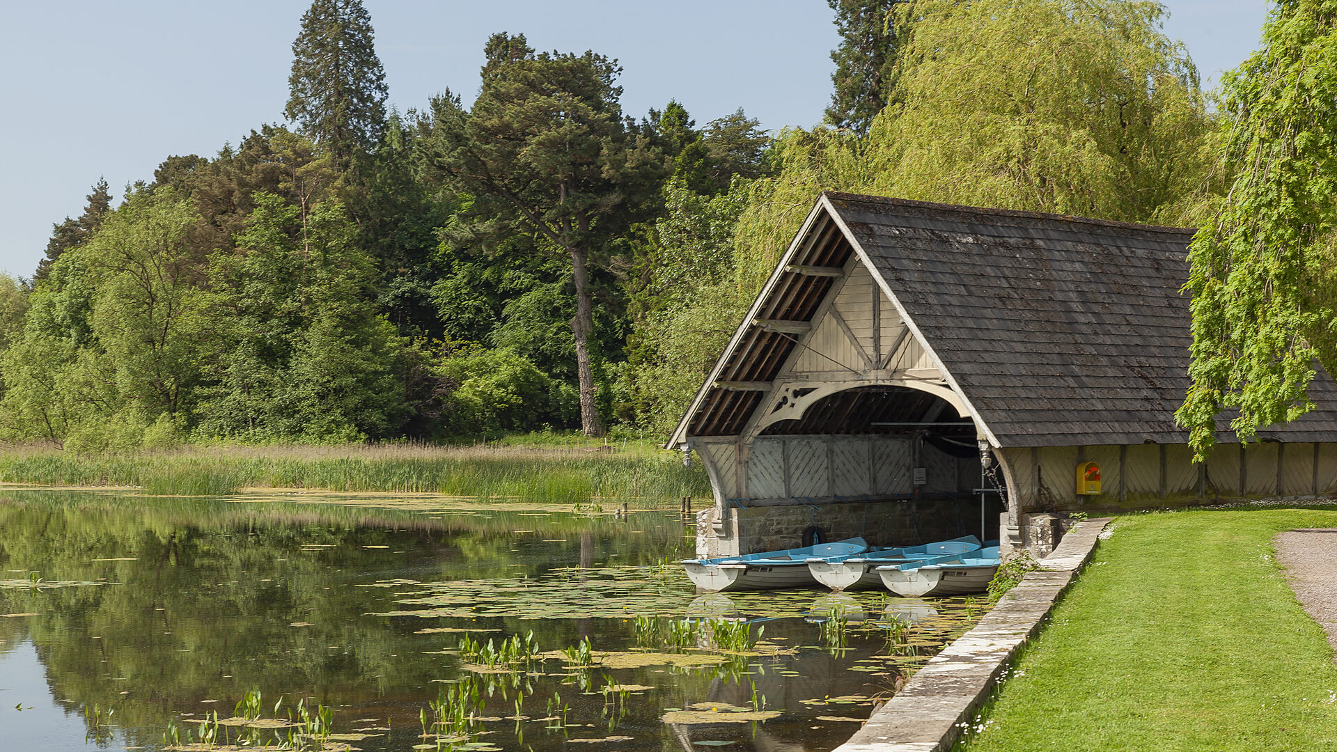 Enclosure in LissylisheenEnclosure · 825 yd
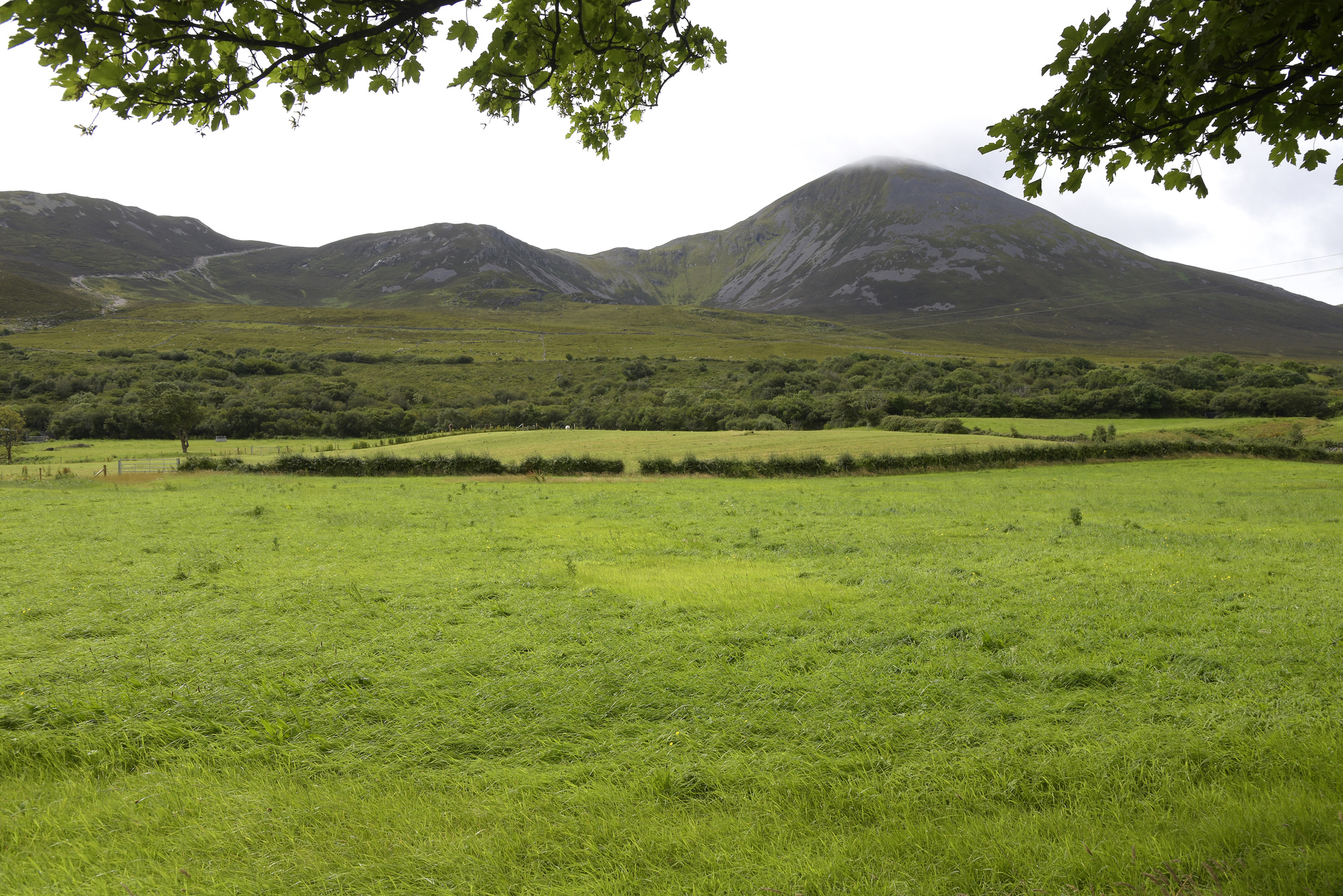 Enclosure in Croagh SouthEnclosure · 996 yd
 Cullaun 5 (C5b)Cave · 1137 yd
 Cullaun 5 (C5)Cave · 1382 yd
 Site of Binroe CastleCastle, unclassified · 1456 yd
 Penitential station in CahermakerrilaPenitential station · 1.2 mi
 Site of Ballymurphy CastleCastle, tower house · 1.3 mi
 Toomaghera R.C. ChapelChurch · 1.7 mi
 Ballyteigue Nature ReserveNature reserve · 2.8 mi
 Slieve ElvaMountain / peak · 3.7 mi
 High CrossHeritage attraction · 3.8 mi