What is recorded here
Cahercrea East holds a worn oval bank, forty metres long and thirty wide, tilted on an east-facing slope where a field boundary now cuts through its northern edge. The rath has lost much of its shape, yet the remaining curve suggests a place set apart for living, hiding, or remembering long before the boundary drew its line. What is missing has not stopped the land from keeping the outline.
On an E-facing slope. Poorly preserved oval rath (c. 40m N-S; c. 30m E-W) defined by a bank. A field boundary cuts through the monument at NW and NE.
Compiled by: Galway Archaeological Survey, UCG
Date of upload: 11 January 2017
The monument record does not grant public access. Check the route and ask the landowner before entering private land.
- What survives
- Recorded monument
Places near here
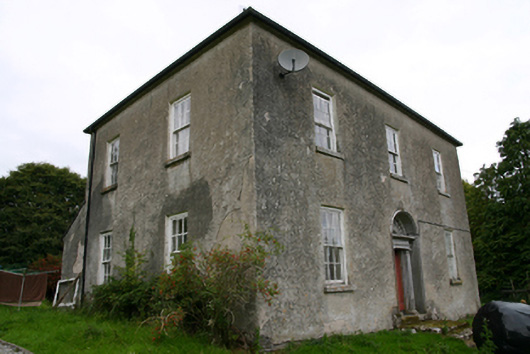 Glenvillecountry house · 920 yd
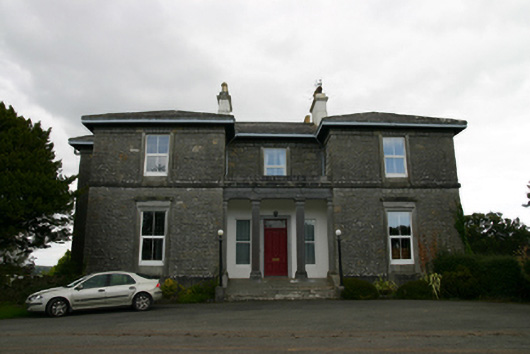 Coorheen Housecountry house · 1071 yd
 Ritual siteRitual site, holy tree/bush · 1410 yd
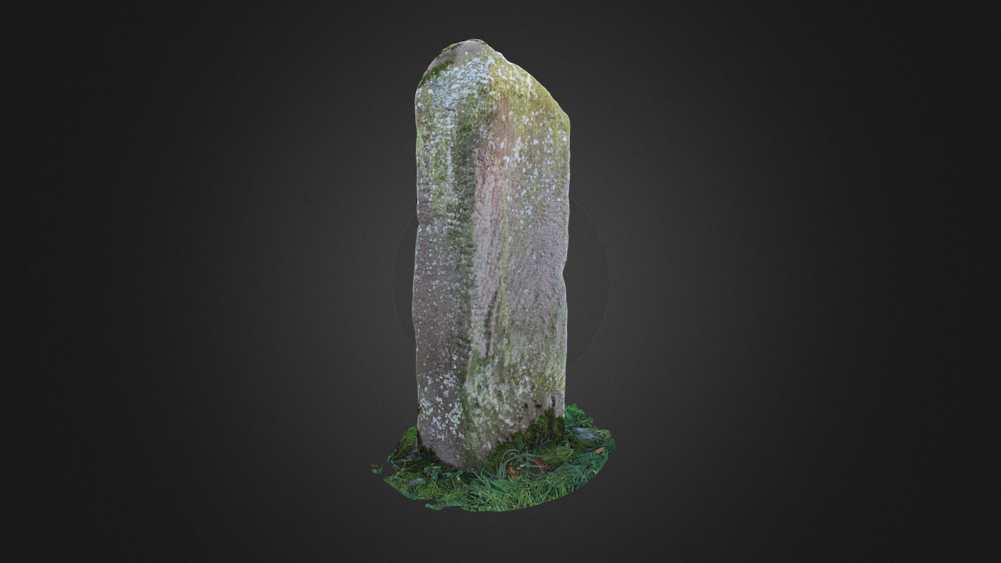 Tomb StoneMegalithic structure · 1473 yd
 Ash IslandIslet · 1575 yd
 Site of CastleCastle, unclassified · 1.1 mi
 Blake's IslandIslet · 1.1 mi
 CastleCastle, tower house · 1.4 mi
 Long PointHeadland · 1.7 mi
 Scalpeen RockNamed rock · 4.1 mi
 Turoe StoneHeritage attraction · 5.2 mi
 Derrybrien Bog SlideHeritage attraction · 6.5 mi