
What is recorded here
Ladys Well is a holy well in Caherabbey Upper, County Tipperary, Ireland. The 2014 inventory recorded an irregular pool measuring 2 by 4 metres and 0.2 metres deep in rock outcrop on the west bank of the River Suir, about 60 metres southwest of Cahir abbey. It described clear water bubbling from beneath a southern rock and two sluggish outflow streams. Maps from 1840 and 1901-05 label it Lady's Well, possibly referring to Our Lady.
On the W bank of the River Suir, c. 60m SW of Cahir abbey, at the base of a steep rock outcrop precipice under young beech trees. This well is in the form of an irregular-shaped pool (dims. 2m x 4m; D 0.2m) in rock outcrop with no enclosing element. Clear water is visible bubbling out from under a rock on the S side. Two streams emanate from the well, flowing sluggishly to the N and S, where they meet a larger stream (former mill race) and eventually join the river. It is indicated as 'Lady's Well' on the 1st (1840) and 2nd (1901-05) ed. OS 6-inch map which may be a religious reference to 'Our Lady'. There is no evidence of religious veneration.
Compiled by: Jean Farrelly
Date of upload: 29 April 2014
Linked to a local tradition of healing, the well is associated with a female saint or "lady," possibly Saint Brigid or a regional holy woman, and was historically visited for its curative waters, particularly for ailments of the eyes and skin. The site's location near Cahir abbey suggests a possible medieval Christian connection, though specific folklore or recorded rituals are sparse.
The monument record does not grant public access. Check the route and ask the landowner before entering private land.
- What survives
- Recorded monument
Places near here
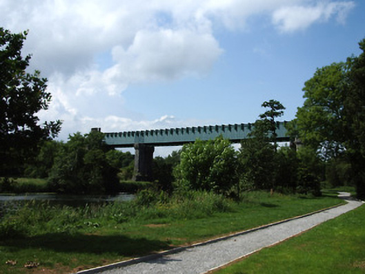 Suir Bridgeviaduct · 94 yd
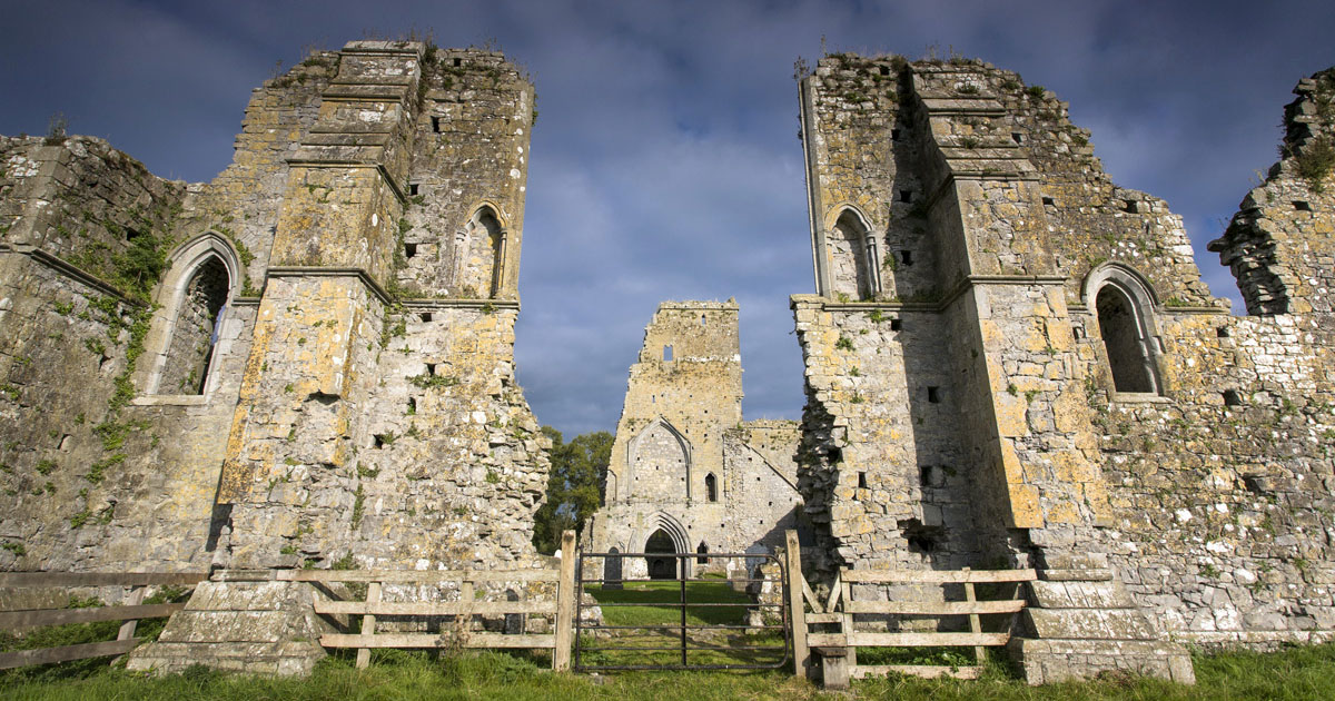 AbbeyReligious house, Augustinian canons · 123 yd
 Caher AbbeyHeritage attraction · 128 yd
 Siege of Cahir Castlesiege · 342 ydCahir CastleHeritage attraction · 546 yd
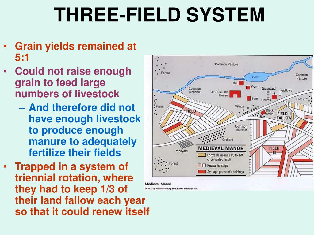 Field system in Caherabbey LowerField system · 961 yd
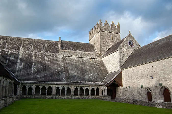 Enclosure in Caherabbey UpperEnclosure · 1077 yd
 Site of CastleCastle, unclassified · 1108 yd
 Pedunculate OakPedunculate Oak · 1.1 mi
 European YewEuropean Yew · 1.5 mi
 Bawn in CloghabreedyBawn · 1.8 mi
 Slieveanard NE TopMountain / peak · 2.9 mi
Other information
Photo: Credit not shown in the picture search · Rights wording not checked; contact us if this picture should be removed