What is recorded here
Caher is a 58-metre earthen ring on an east-west ridge in County Cork, old enough that people called it a fairy fort before they knew it was a human home. Its low bank still stands beside farmland, hidden under growth, marking a place where someone once drew a circle around their life. The fairies may have taken the name, but the shape belongs to the people who built it.
In tillage, atop E-W ridge. Heavily overgrown, circular area (diam. c. 58m E-W) defined by earthen bank (H 1.2m).
The above description is derived from the published 'Archaeological Inventory of County Cork. Volume 1: West Cork' (Dublin: Stationery Office, 1992). In certain instances the entries have been revised and updated in the light of recent research.
Date of upload/revision: 14 January 2009
The monument record does not grant public access. Check the route and ask the landowner before entering private land.
- What survives
- Recorded monument
Places near here
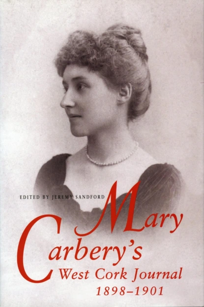 Burial ground in Caher (carbery E. (w.d.) By., Kilmeen Par.)Burial ground · 554 yd
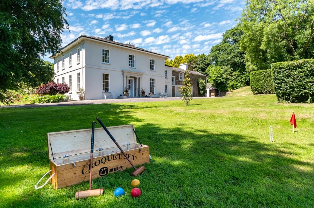 Country house in LiscubbaCountry house · 856 yd
 Boulder-burial in Letter (carbery East (w.d) By.)Boulder-burial · 1.0 mi
 Corn Mill, Tuck MilMill, fulling · 1.0 mi
 Fahanacowley Castle (Site of)Castle, unclassified · 1.2 mi
 Clasharusheen Mansion (Site of)Castle, unclassified · 1.4 mi
 Corran HillMountain / peak · 2.6 mi
 Michael Collins BirthplaceHistoric birthplace · 3.4 mi
 Battle of the Big Cross (1798) Memorial MonumentMonument · 3.5 mi
 Michael Collins MemorialMemorial · 3.6 mi
 Clonakilty Blackpudding Visitor CentreHeritage attraction · 3.7 mi
 The GlenWood · 3.8 mi