
What is recorded here
Named 'Gearagh Corn and Tuck Mill' on the OS 6-inch map (1842). A small roadside milling complex 1.5km SE of Rossmore on the Argideen river. The tuck or fulling mill is c. 5m to E of the corn mill (CO121-082001-). It is a small roofless rectangular structure (int: 4.67m N-S; 3.12m E-W) with a wheel pit along its W elevation. A small bevelled gear wheel survives.
The above description is derived from the published 'Archaeological Inventory of County Cork. Volume 1: West Cork' (Dublin: Stationery Office, 1992). In certain instances the entries have been revised and updated in the light of recent research.
Date of upload/revision: 14 January 2009
The monument record does not grant public access. Check the route and ask the landowner before entering private land.
- What survives
- Recorded monument
Places near here
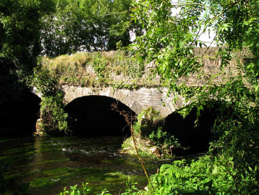 Gearagh Bridgebridge · 109 yd
 Clasharusheen Mansion (Site of)Castle, unclassified · 1381 yd
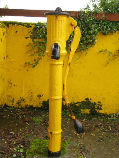 water pumpwater pump · 1606 yd
 Fahanacowley Castle (Site of)Castle, unclassified · 1.1 mi
 Burial ground in Caher (carbery E. (w.d.) By., Kilmeen Par.)Burial ground · 1.1 mi
 ClasharusheenHoly well · 1.2 mi
 Michael Collins BirthplaceHistoric birthplace · 2.9 mi
 Corran HillMountain / peak · 3.1 mi
 Michael Collins MemorialMemorial · 3.2 mi
 Jeremiah O'Donovan RossaMemorial · 4.0 mi
 Clonakilty Blackpudding Visitor CentreHeritage attraction · 4.2 mi
 The GlenWood · 4.4 mi
Other information
Photo: Credit not shown in the picture search · Rights wording not checked; contact us if this picture should be removed