
What is recorded here
Embanked enclosure is a fairy fort or earthen ringfort in Butlerstown (forth By., Tomhaggard Ed), Linziestown, County Wexford, Ireland. The 1996 inventory described this subcircular grass-covered area on level ground as measuring 44 metres east to west and 40 metres north to south. Its perimeter consists of a field bank and hedge forming the townland boundary from southwest through west to northeast, alongside an eroded grass-covered earthen bank from northeast to south that is 8.5 metres wide, 0.4 metres high internally, and 1.3 metres high externally. No visible ditch exists, but the original entrance may have been at the east where a 12-metre-wide dip appears in the perimeter.
Situated on a level landscape. This is a subcircular grass-covered area (dims 44m E-W; 40m N-S) defined by a field bank and hedge, which is the townland boundary with Linziestown S-W-NE, and an eroded but grass-covered earthen bank (Wth 8.5m; int. H 0.4m; ext. H 1.3m) NE-S. There is no visible fosse, but the original entrance may have been at the E where there is a dip in the perimeter (Wth 12m).
The above description is derived from the published 'Archaeological Inventory of County Wexford' (Dublin: Stationery Office, 1996). In certain instances the entries have been revised and updated in the light of recent research.
Compiled by: Michael Moore
Date of upload/revision: 14 October, 2013
The monument record does not grant public access. Check the route and ask the landowner before entering private land.
- What survives
- Recorded monument
Places near here
 Linziestown Housefarm house · 261 yd
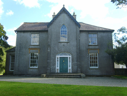 Butlerstown Castlecountry house · 405 yd
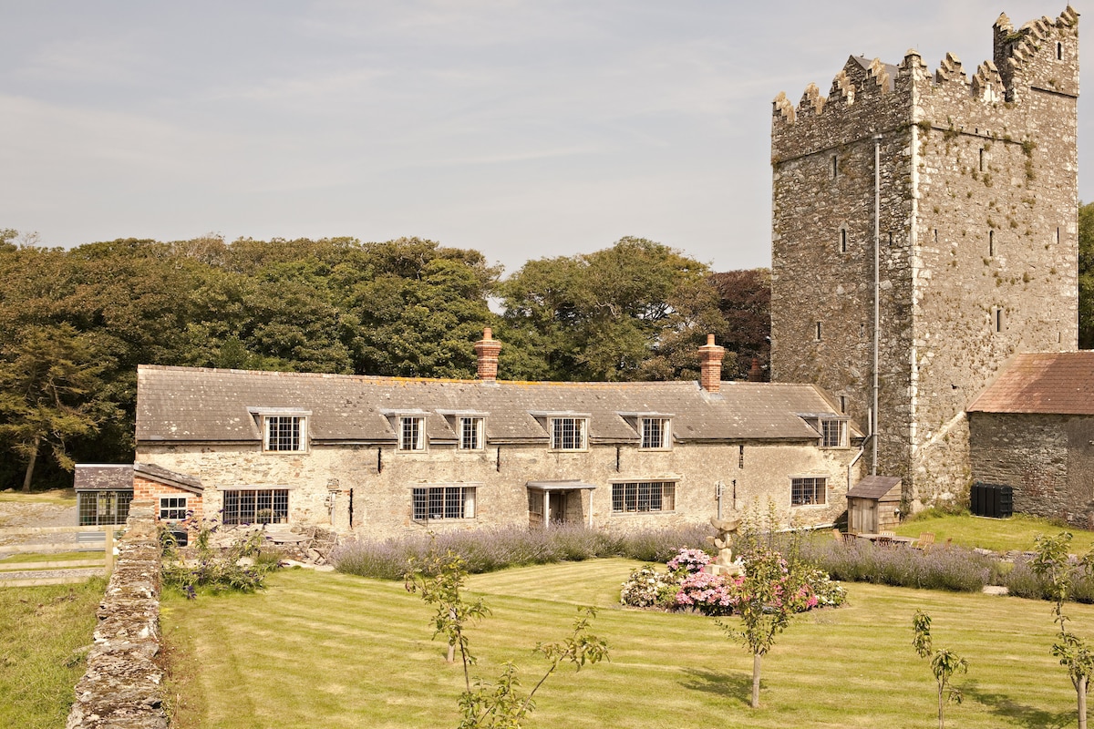 CastleCastle, tower house · 418 yd
 St. Mans WellHoly well · 1148 yd
 Field system in Ballyboher,paradise LittleField system · 1231 yd
 The Bull RockForest · 1626 yd
 The Heron's MeadowForest · 1657 yd
 1798 Memorial PlaqueMemorial · 1.1 mi
 The HamBay · 1.2 mi
 Ballymacane CastleCastle, unclassified · 1.6 mi
 Sigginstown Island (Great)Island · 1.9 mi
 Sigginstown Island (Little)Islet · 1.9 mi
Other information
Photo: Credit not shown in the picture search · Rights wording not checked; contact us if this picture should be removed