
What is recorded here
Situated on a fairly level low-lying landscape. In July 2018 a drone-mounted camera operated by Páid Bates (Skypix) recorded an image of the cropmarks of a field system covering about 13 ha (c. 32 acres). The fields are fairly rectangular (dims c. 30-50m x c. 100m) but not completely regular and are defined by single fosse features that appear to be unrelated to the field system depicted only on the 1902 edition of the OS 6-inch map. The N edge of rectangular enclosure (WX047-142001-) is incorporated in one of the E-W field drains but other enclosures within the fields appear to be unconnected with them.
See the attached aerial view taken from N courtesy of Skypix Aerial Works
Compiled by: Michael Moore
Date of upload: 2 January 2019
The monument record does not grant public access. Check the route and ask the landowner before entering private land.
- What survives
- Recorded monument
Places near here
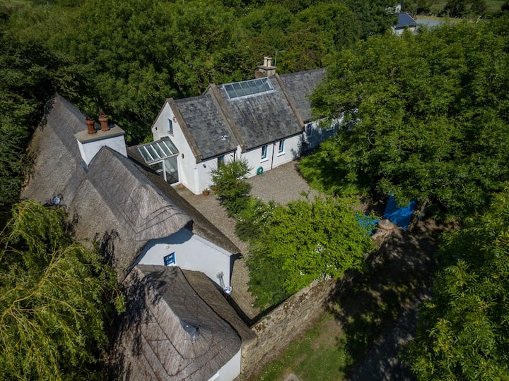 Enclosure in BallyboherEnclosure · 80 yd
 Church (in ruins)Church · 378 yd
 Enclosure in KnockhowlinEnclosure · 631 yd
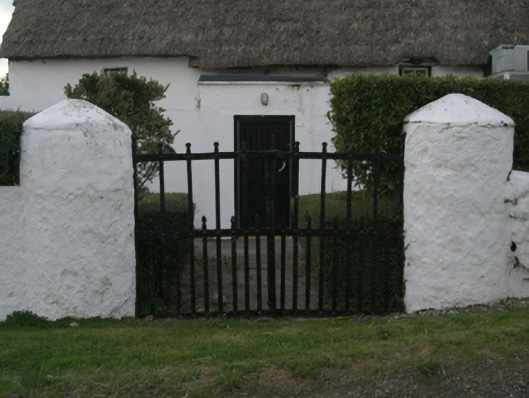 farm housefarm house · 956 yd
 Wilson's MoorWood · 1437 yd
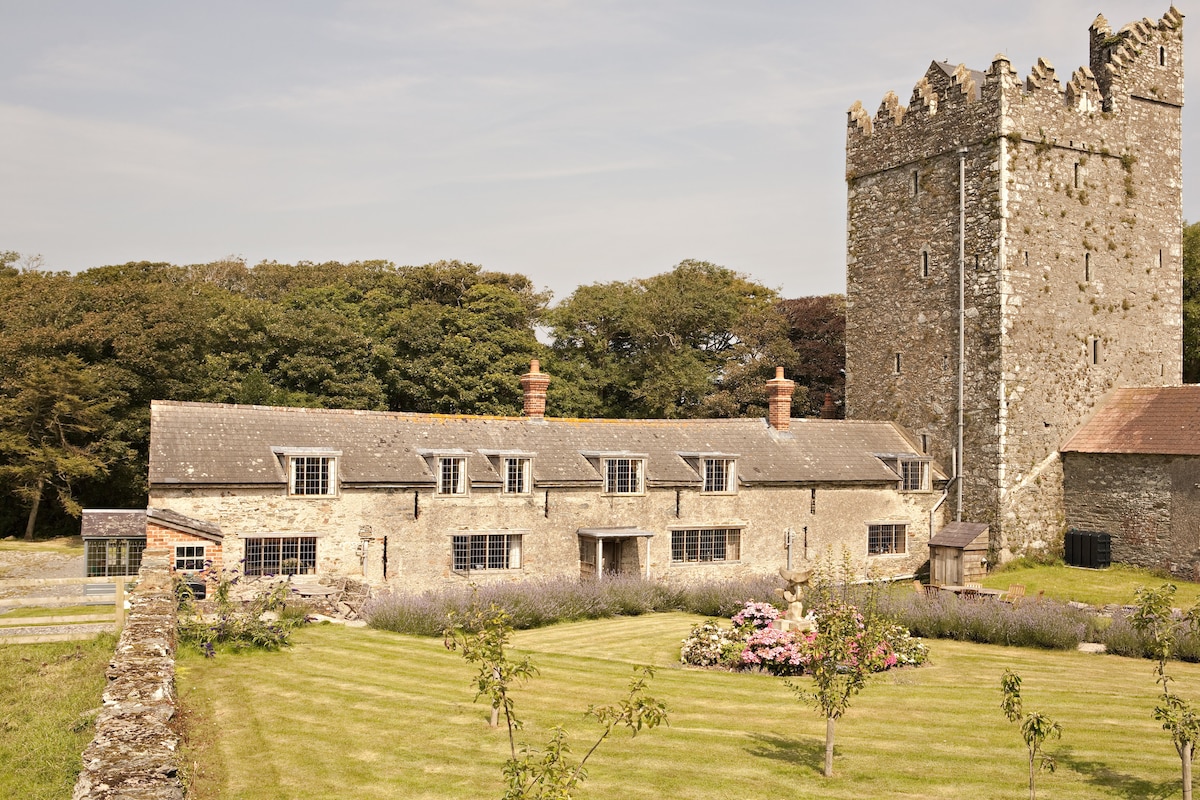 CastleCastle, tower house · 1605 yd
 Ballymacane CastleCastle, unclassified · 1.0 mi
 The HamBay · 1.1 mi
 Sigginstown Island (Great)Island · 1.6 mi
 The Bull RockForest · 1.6 mi
 Sigginstown Island (Little)Islet · 1.7 mi
 1798 Memorial PlaqueMemorial · 1.8 mi
Other information
Photo: Credit not shown in the picture search · Rights wording not checked; contact us if this picture should be removed