
What is recorded here
Situated on a fairly level landscape. The parish church of Ishartmon is within a rectangular graveyard (max. dims 47m N-S; 39.5m E-W) defined by earthen banks and hedges, with a gate at the SW corner to an E-W public road. The name of the parish is thought to derive from Diseart Munna – St. Munna’s church, according to John O’ Donovan writing c. 1840 (O’Flanagan 1933, vol. 1, 283-4; Dalton 1920 29). The church was described as decayed on the Down Survey (1655-6) terrier or commentary (Hore 1921, 91) and the parish may have been defunct by then as it does not feature in the Visitation of Bishop Ram in 1615 (Hore 1900-11, vol. 6, 265-74).
The church consists of a nave (ext. dims 10.2m E-W; 7.1m N-S) and chancel (ext. dims 6.2m E-W; 5.6m N-S) surviving complete, except the N nave wall. A narrow pointed doorway (Wth 0.82m; H 1.77m) of undressed stone in a lintelled embrasure (H 1.22m) is towards the W end of the S nave wall and a rectangular window (Wth 0.27m; H 0.68m) with glazing grooves towards E end has its embrasure partly blocked by the chancel arch wall. There is a double bellcote over the ivy-covered W gable, which has no other visible feature apart from putlog-holes. The chancel arch was originally rounded (Wth 1.34m; H 2.3m) but is now altered into a pointed doorway with brickwork. The external face of the nave walls oversail those of the chancel (int. dims 6.47m E-W; 4.2m N-S) by 1.2m permitting a larger chancel space while maintaining the rough proportions of 1:2 between the chancel and nave externally. The E window is blocked and obscured but there is a projecting slab on the N side internally, perhaps for a statue. There is a small pointed window towards the W end of both the N (Wth 0.2m; H 0.67m) and S (Wth 0.2m; H 0.69m) chancel walls, each with glazing grooves and in a lintelled embrasure. There is an aumbry niche blocked with spoil at the E end of the S chancel wall. There is a circular granite font (ext. diam. 0.64m; int. diam. 0.43m; ext. H 0.4m; D 0.18m) within the nave.
The abpve description is derived from the published 'Archaeological Inventory of County Wexford' (Dublin: Stationery Office, 1996). In certain instances the entries have been revised and updated in the light of recent research.
Date of upload/revision: 11 October, 2013
The monument record does not grant public access. Check the route and ask the landowner before entering private land.
- What survives
- Recorded monument
Places near here
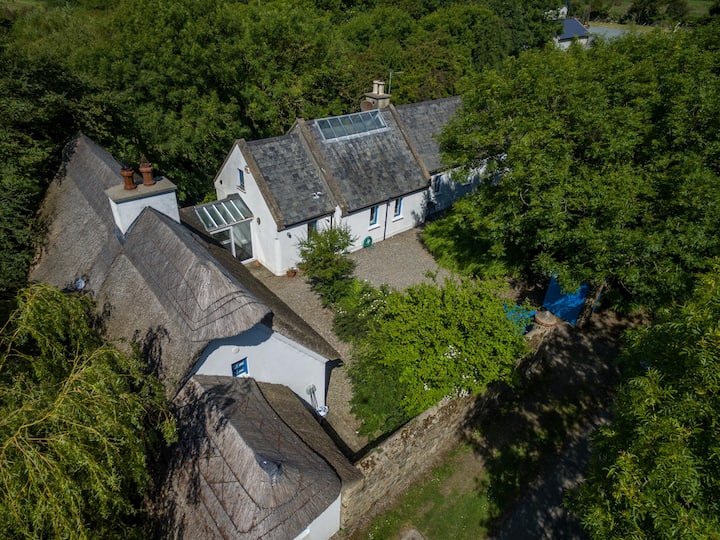 Enclosure in BallyboherEnclosure · 343 yd
 Field system in Ballyboher,paradise LittleField system · 378 yd
 Linziestown Housefarm house · 760 yd
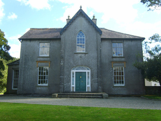 Butlerstown Castlecountry house · 1310 yd
 Wilson's MoorWood · 1310 yd
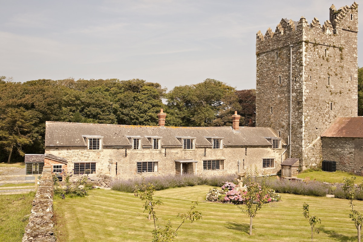 CastleCastle, tower house · 1334 yd
 The HamBay · 1631 yd
 Ballymacane CastleCastle, unclassified · 1.1 mi
 The Bull RockForest · 1.5 mi
 Sigginstown Island (Great)Island · 1.6 mi
 1798 Memorial PlaqueMemorial · 1.6 mi
 Sigginstown Island (Little)Islet · 1.6 mi
Other information
Photo: Credit not shown in the picture search · Rights wording not checked; contact us if this picture should be removed