
What is recorded here
No visible mound or marker remains, only charcoal scattered across peat and buried beneath a fence on opposite banks of the Owbaun. The fire may have cooked food, cleared brush or destroyed something nobody recorded. It happened far enough back that even the soil has forgotten whether the loss was ordinary or sacred.
In rough peaty pasture, on a SE-facing slope, on the W side of the valley of the Owbaun River. An area of burnt material (8m N-S; 3m E-W) is visible on the NE bank of a stream. A layer of burnt material (L 6m; H 0.3m) was also noted in the base of the NE face of a field fence on the opposite side of the stream.There is a standing stone (KE084-005002-) c. 24m to the NNW and an enclosure (KE084-005----) c. 30m to the SW.
The above description is derived from the published 'Archaeological Inventory of County Kerry. Volume I: South-West Kerry' (Dublin: Stationery Office, 2009). In certain instances the entries have been revised and updated in the light of recent research.
Date of upload: 30 May 2011
The monument record does not grant public access. Check the route and ask the landowner before entering private land.
- What survives
- Recorded monument
Places near here
 Field boundary in CummeenduvasigField boundary · 218 yd
 KnockbrackMountain / peak · 1.0 mi
 DromderaloughMountain / peak · 1.1 mi
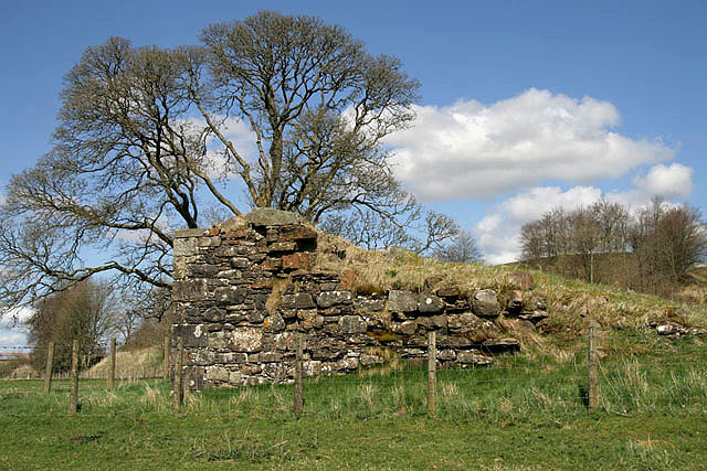 Enclosure in MangertonEnclosure · 1.2 mi
 SheepfoldHouse, 18th/19th century · 1.8 mi
 IndicatedKiln, lime · 2.0 mi
 Hidden Valley Pet FarmHeritage attraction · 2.7 mi
 European YewEuropean Yew · 3.0 mi
 Castle (Site of)Castle, unclassified · 3.0 mi
 Shanagarry Castle (Site of)Castle, unclassified · 3.4 mi
 Great Southern & Western RailwayMemorial · 3.5 mi
 TooreencormickBattlefield · 4.2 mi
Other information
Photo: Credit not shown in the picture search · Rights wording not checked; contact us if this picture should be removed