What is recorded here
Identified in centre-line testing (E4110) in advance of the M11 Gorey to Enniscorthy road scheme and set aside for resolution as a part of Myaugh 1 (Hardy et al. 2010, 66). It is located in the E-W dip of a small E-W stream that was just to the N but is now diverted into a drain c. 20m to the N. It was excavated (E4236) by M. McNamara when two burnt mounds were recorded. The E mound (dims 9m E-W plus; 4.9m N-S plus; T 0.25m) overlay two circular pits (diam. 0.85m; D 0.25m: 0.6m; D 0.12m) at the SE edge of the excavation, but they may have been troughs. The mound and pits are only partially excavated and survive outside the excavated area to the SE. Two lines of stake-holes extend NW (L 1m) and WSW (L 1.1m) from the pits, and a palaeochannel (Wth 1.6-2.9m; exposed L 14.5m) separated this site from the burnt mound (WX020-080001-) c. 20m to the W. The pits and other features (WX020-079----) are c. 60m to the N. (Hardy 2012; McNamara 2013)
Compiled by: Michael Moore
Date of upload: 28 November, 2013
Burnt mound in Myaugh is a Neolithic ritual or industrial site, dating to the earlier part of the Neolithic period in Ireland (c. 4000–2500 BCE). Its significance lies in providing evidence of early land use and possible ceremonial activity associated with heat-related processes.
The monument record does not grant public access. Check the route and ask the landowner before entering private land.
- What survives
- Recorded monument
Places near here
 Burnt spread in TinnacrossBurnt spread · 236 yd
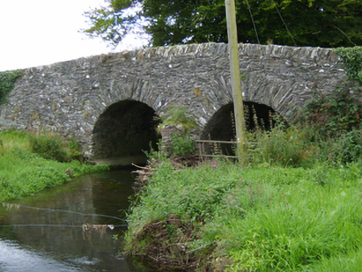 Tinnacross Bridgebridge · 394 yd
 Not idicatedFairy fort / earthen ringfort · 661 yd
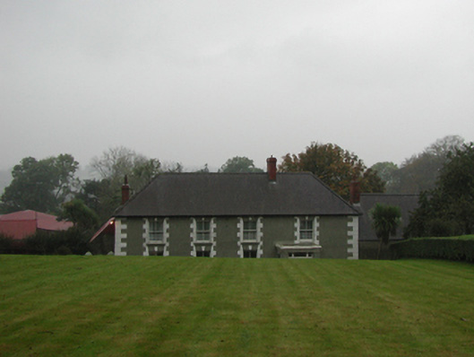 farm housefarm house · 923 yd
 U.N. Peace MemorialMonument · 5.1 mi
 Battle of Vinegar HillMajor battlefield · 5.1 mi
 Duffry GateMemorial · 5.1 mi
 National 1798 CentreMuseum · 5.4 mi
 Daphney CastleCastle, unclassified · 6.2 mi
 European LarchEuropean Larch · 6.6 mi
 European YewEuropean Yew · 6.6 mi
 CastleCastle, ringwork · 7.0 mi