What is recorded here
Situated on the S bank of a small NE-SW canalised stream. First identified in centre-line testing (E4110) for the M11 motorway (Hardy et al 2010, 52), and excavated (E4195) as Mountgeorge 2 by M. McNamara in late 2010 (Hardy 2012). A length of winding stream (L 49m; Wth 1.46-4.6m; D 0.06-0.51m) was uncovered. It had four fills, the uppermost of which contained silty clays with inclusions of charcoal and heat-shattered stone. The source of the burnt stone was not identified and may survive in the vicinity. (Hardy 2012; McNamara 2013)
Compiled by: Michael Moore
Date of upload; 7 February, 2013
Burnt mound in Mountgeorge is a Bronze Age ritual or industrial site, characterised by heat-shattered stones and associated features. Its significance lies in providing evidence of early land use and possible ceremonial activity in the region.
The monument record does not grant public access. Check the route and ask the landowner before entering private land.
- What survives
- Recorded monument
Places near here
 Fulacht fia in MountgeorgeFulacht fia · 87 yd
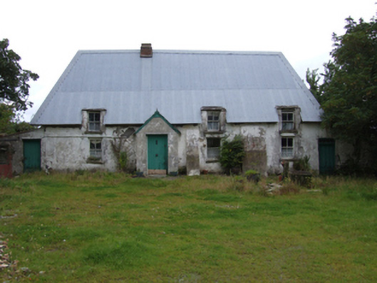 farm housefarm house · 161 yd
 Holy well in MountgeorgeHoly well · 170 yd
 KilnKiln, corn-drying · 849 yd
 The GroveWood · 1594 yd
 The CoilWood · 1734 yd
 Giants BedNamed rock · 1.6 mi
 IndicatedCastle, ringwork · 2.0 mi
 Carrigroe HillMountain / peak · 2.1 mi
 Father Murphy CentreHeritage attraction · 2.1 mi
 Milshoge RockMountain / peak · 2.6 mi
 Ferns Castle (in ruins)Castle, Anglo-Norman masonry castle · 2.9 mi