What is recorded here
Located in a low cliff-face on the NW-facing foreshore on the E side of Tramore Bay. This is a black layer (L c. 2.5m plus; T 0.15m) with some charcoal lumps and a lot of small fire-cracked stones. The section is obscured to the NE by overhanging grass from a partial cliff collapse. The feature is at the junction of glacial till with the overlying sand, but the cliff face to the SW has come away leaving a little alcove in the cliff face.
Compiled by: Michael Moore
Date of upload/revision: 10 June 2011
Burnt mound in Lisselty is a prehistoric ritual or industrial site, likely dating to the Neolithic or Bronze Age. Its significance lies in the presence of fire-cracked stones and charcoal, suggesting it was used for heat-related activities, possibly in connection with early settlement or ceremonial practices along the coastal landscape of Tramore Bay.
The monument record does not grant public access. Check the route and ask the landowner before entering private land.
- What survives
- Recorded monument
Places near here
 Burnt spread in LisseltyBurnt spread · 52 yd
 Burnt spread in Corbally MoreBurnt spread · 150 yd
 Corbally Moreoutbuilding · 532 yd
 Lower ForestWood · 745 yd
 Main ForestWood · 782 yd
 The Baldy ManViewpoint · 889 yd
 Memory of the crew of "Rescue 111"Memorial · 1168 yd
 Church (in ruins)Church · 1.2 mi
 South East Coastal DriveVisitor information · 1.4 mi
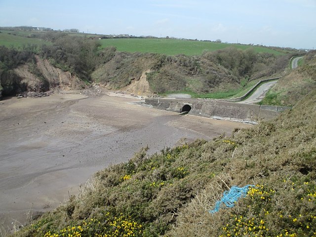 Ballymacaw CoveBeach / strand · 1.5 mi
 Tramore StrandBeach / strand · 1.5 mi
 Rathmoylan-Ballymacaw Cliff WalkWalking route · 1.8 mi