What is recorded here
In flat expanse of wettish pasture, 12m SW of a stream/drain. Low grass-covered, irregular-shaped rise (c. 5m E-W; 5m N-S; H 0.3m). There is dark grey-black soil beneath the sod but no stone fragments were visible. The nature of this feature is uncertain.
Compiled by: Jane O’Shaughnessy
Date of upload: 8 December 2021
Burnt mound, likely dating to the Bronze Age. Its significance lies in its association with ritual or industrial activities, such as heat-treated stone use for cooking, hide preparation, or ceremonial purposes.
The monument record does not grant public access. Check the route and ask the landowner before entering private land.
- What survives
- Recorded monument
Places near here
 Derrymeel FortFairy fort / earthen ringfort · 228 yd
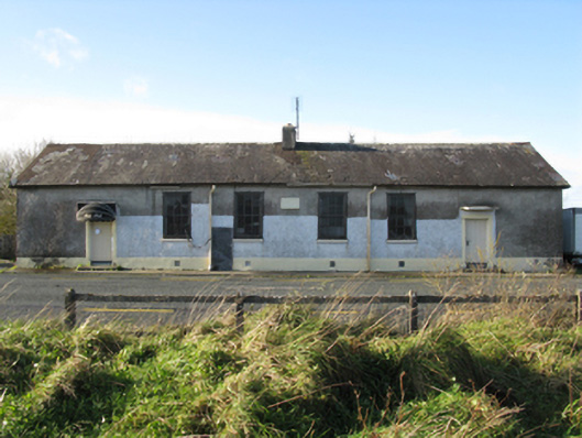 Doogary National Schoolschool · 248 yd
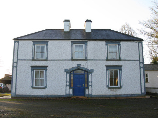 farm housefarm house · 1192 yd
 IndicatedEnclosure · 1482 yd
 East Mayo Brigade MonumentMemorial · 1.4 mi
 Rath Castle in ruinsCastle, tower house · 1.6 mi
 CastleCastle, unclassified · 2.3 mi
 Knock ShrineHeritage attraction · 4.3 mi
 Knock MuseumMuseum · 4.3 mi
 I'll Send You The FareMemorial · 5.8 mi
 Thorn CaveCave · 6.2 mi
 Bawn IslandIslet · 18 mi