What is recorded here
In pasture adjacent to a field boundary at N side of undulating field. Identified during archaeological testing (Licence No. 21E0442) in advance of a wind farm (Carroll and Quinn 2021, 64-7). A low mound (exposed extent c. 19m E-W; 9.2m N-S; D 0.35-4m) of burnt charcoal-rich soil and heat affected stones was exposed under a thin sod layer (D 0.1m) (ibid. 65). The mound continued N beyond the limit of the test trench (ibid.). Another burnt mound (KK007-021----) was also identified c. 22m to the S (ibid. 66-7).
Compiled by: Jean Farrelly
Date of upload: 18 October 2021
Burnt mound in Bruckana is a prehistoric ritual or industrial site, likely dating to the Neolithic or Bronze Age. Its significance lies in providing evidence of early land use and activity patterns in the region.
The monument record does not grant public access. Check the route and ask the landowner before entering private land.
- What survives
- Recorded monument
Places near here
 Enclosure in BayswellEnclosure · 1578 yd
 Castle PierceHouse, fortified house · 1615 yd
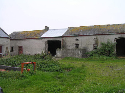 Bayswell Housefarmyard complex · 1.3 mi
 Bayswell RingfortArchaeological place · 1.3 mi
 Church (in ruins)Church · 1.3 mi
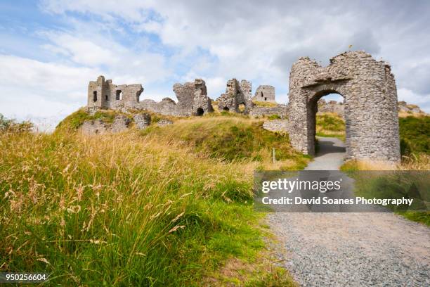 Baunaghra Ho. (in ruins)Castle, unclassified · 1.7 mi
 Cnoc SeanrathaMemorial · 3.0 mi
 Tullow HillMountain / peak · 3.1 mi
 Clonmeen WoodWood · 4.0 mi
 DelaneyMemorial · 4.3 mi
 European ashEuropean ash · 9.2 mi
 Pheasant IslandHeritage attraction · 9.4 mi