
What is recorded here
On a natural platform at the edge of a marsh/bog under rough grazing. There are good views in all directions. A roughly circular enclosure (diam. c. 78m) defined by a bank (int. H 0.8m; ext. H 1.4m; overall Wth 5m) and fosse (Wth 4m; D 0.6m). It is indicated on the 1st (1839) ed. 6-inch OS map as a roughly oval enclosure (dims. c. 78m N-S; c. 86m E-W) which kinks northward in the N sector. This kink may be due to a small quarry. A townland boundary runs along the S sector of the monument, curving to incorporate the bank.
Compiled by: Jean Farrelly
Date of upload: 24 April 2017
The monument record does not grant public access. Check the route and ask the landowner before entering private land.
- What survives
- Recorded monument
Places near here
 Bayswell RingfortArchaeological place · 877 yd
 Fairy fort / earthen ringfort in BayswellFairy fort / earthen ringfort · 878 yd
 Church (in ruins)Church · 887 yd
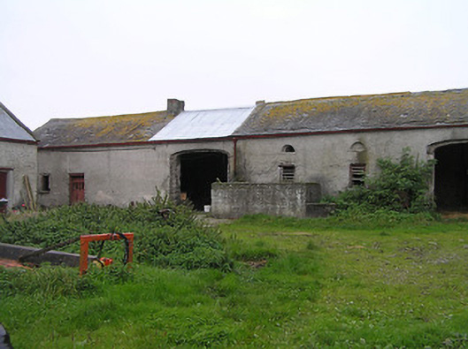 Bayswell Housefarmyard complex · 1.1 mi
 Castle PierceHouse, fortified house · 1.4 mi
 Foulkscourt castle (in ruins)Castle, tower house · 2.2 mi
 Cnoc SeanrathaMemorial · 3.0 mi
 DelaneyMemorial · 3.4 mi
 Tullow HillMountain / peak · 4.0 mi
 Clonmeen WoodWood · 4.9 mi
 Street fieldArchaeological place · 5.1 mi
 St. Mary's Famine and War MuseumMuseum · 9.2 mi
Other information
Photo: Credit not shown in the picture search · Rights wording not checked; contact us if this picture should be removed