What is recorded here
On a W-facing slope. This is an area of burnt and broken stones in dark ploughsoil (diam. 23m) c. 30m ENE of a fulacht fiadh (WA018-060001-).
The above description is derived from the published 'Archaeological Inventory of County Waterford' (Dublin: Stationery Office, 1999). In certain instances the entries have been revised and updated in the light of recent research.
Date of upload/revision: 23 December 2008
Burnt mound in Ballynabola is a fulacht fiadh, typically associated with the Early Bronze Age, and is linked to ritual or thermally enhanced food preparation activities. Its proximity to another fulacht fiadh suggests possible settlement or ceremonial use of the landscape.
The monument record does not grant public access. Check the route and ask the landowner before entering private land.
- What survives
- Recorded monument
Places near here
 Burnt mound in BallynabolaBurnt mound · 34 yd
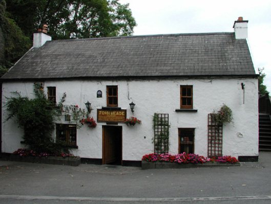 John Meadehouse · 443 yd
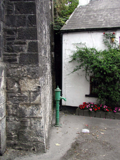 water pumpwater pump · 450 yd
 Castle (in ruins)Castle, tower house · 693 yd
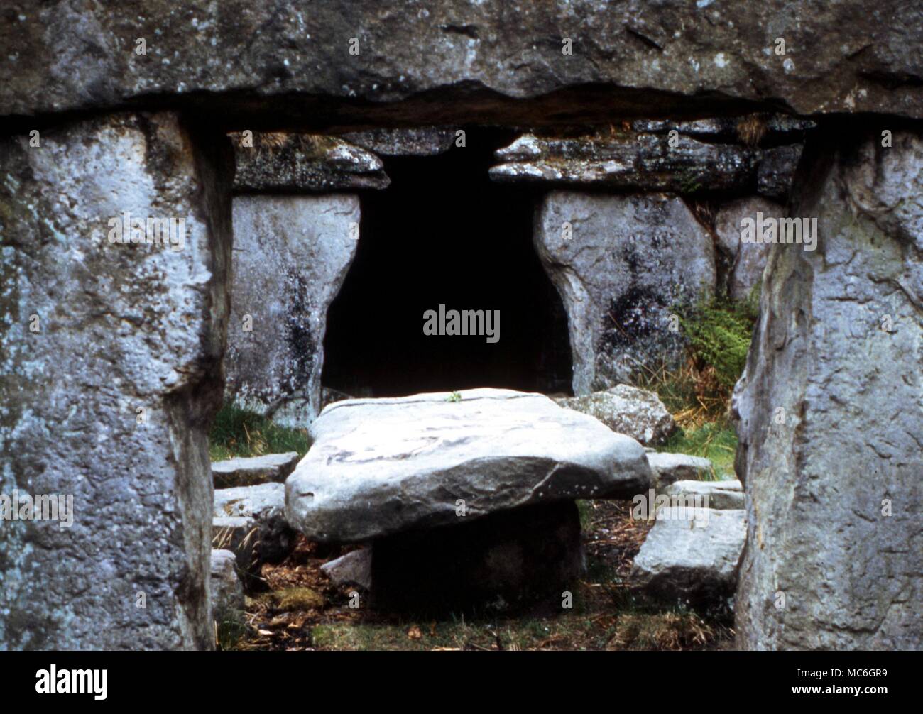 Druids AltarMegalithic structure · 1097 yd
 Ballinakill WoodsWood · 1.3 mi
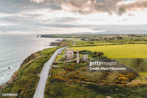 MoteCastle, motte · 1.4 mi
 Minaun HillMountain / peak · 2.2 mi
 Monterey CypressMonterey Cypress · 2.2 mi
 The MinaunViewpoint · 2.2 mi
 Memory of the crew of "Rescue 111"Memorial · 6.7 mi
 Mount Congreve GardensHeritage attraction · 7.8 mi