What is recorded here
Situated in a lowlying marshy field on the SE outskirts of Sixmilebridge c. 40m W of a stream flowing S. Excavated during test trenching in 2007 as part of the archaeological assessment of a proposed mixed-use development (Cummins 2008; Licence no. 07E1164). A burnt spread (10.5m N-S; 10m E-W) comprised of heat-shattered stones in a charcoal-enriched soil matrix. A second burnt spread (CL052-078001-) was found 40m to the N.
Compiled by: Mary Tunney
Date of upload: 20 February 2019
Burnt mound in Ballyliddan West is a prehistoric ritual or industrial site, likely dating to the Neolithic or early Bronze Age. Its significance lies in providing evidence of ancient thermal activity, possibly related to ceremonial practices or craft production.
The monument record does not grant public access. Check the route and ask the landowner before entering private land.
- What survives
- Recorded monument
Places near here
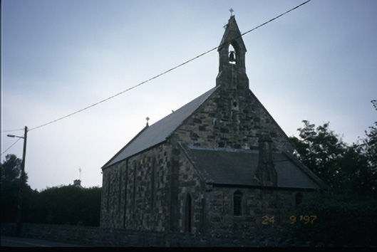 The Little Churchchurch/chapel · 183 yd
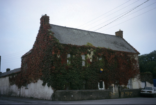 Ieverstown Househouse · 309 yd
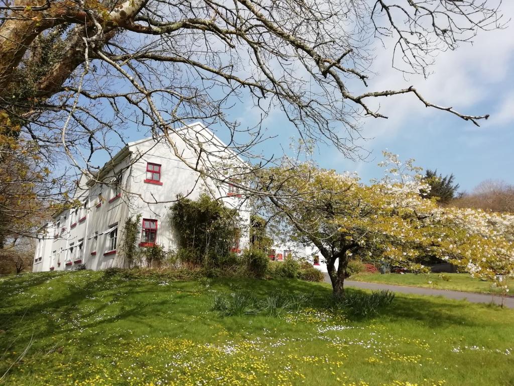 Enclosure in Ballyliddan WestEnclosure · 692 yd
 Enclosure in Carrowmore (bunratty Lower By.)Enclosure · 1626 yd
 Castle (Site of)Castle, unclassified · 1.1 mi
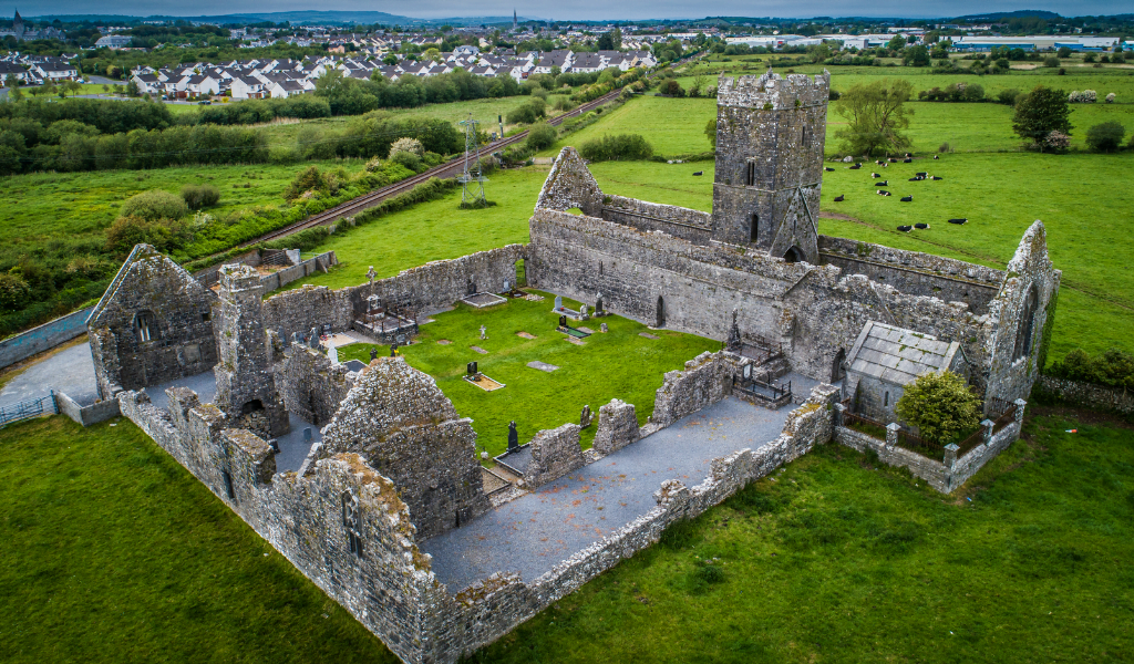 CastleCastle, unclassified · 1.4 mi
 islandWood · 2.1 mi
 Cratloe WoodsForest · 2.9 mi
 Bunratty Castle and Folk ParkHeritage attraction · 3.4 mi
 Bunratty Castlehouse · 3.6 mi
 Mass RockMemorial · 4.0 mi
 Illaunmore PointHeadland · 4.1 mi