What is recorded here
In 1935 the National Museum of Ireland received a report from Rev. Moran, Maynooth College, of burials visible on the banks of the river Boyne, c. two miles S of Trim.The burials were said to be located on either side of a stream which runs between the graveyard on its W side and the church(ME037-010----) on its east side very close to the Boyne river. It was not investigated and its precise location is not known. (Cahill, M. Sikora, 2011, vol. 2, 505)
Compiled by: Geraldine Stout
Date of upload: 11 March 2013
Amended: 25 July 2019
The monument record does not grant public access. Check the route and ask the landowner before entering private land.
- What survives
- Recorded monument
Places near here
 CastleCastle, motte · 113 yd
 Scurlogstown CastleArchaeological place · 248 yd
 Church (in Ruins)Church · 251 yd
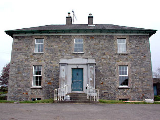 Newtown Parkhouse · 742 yd
 CrossCross, High cross (present location) · 1.1 mi
 Newtown AbbeyCathedral · 1.2 mi
 Small-leaved ElmSmall-leaved Elm · 2.6 mi
 Wych ElmWych Elm · 2.9 mi
 MullaghMountain / peak · 7.9 mi
 Larchil Arcadian GardensHeritage attraction · 8.4 mi
 Kilgar GardensHeritage attraction · 8.4 mi
 Candle HillMountain / peak · 8.5 mi