What is recorded here
Burial Ground stands 800m SW of Monivea village in County Galway, where a modern rectangular graveyard overlays an older earthen bank. Most graves date to the 20th century, yet small undressed set stones still protrude through the soil, hinting that people have laid their dead here since long before the stone wall rose. A spring beside the grave yard still waters livestock, tying the living and the buried to the same roadside earth.
On the roadside, 800m SW of Monivea village. On 1st ed. of OS 6-inch map, a medium-sized earthwork (GA071-074002-) is labelled as 'Burial Ground'. However, by time of 3rd ed. (1931), the latter appears as a large irregular area (c. 70m by c. 65m), delimited by a broken line. The modern graveyard is rectangular in plan (E-W 90m, N-S 70m), and is enclosed by a stone wall which overlies an earthen bank along N side. The majority of the burials are of 20th-C date but a number of small undressed set stones are visible. The well shown on OS 6-inch maps to W of the graveyard is a spring enclosed by a modern wall; it is currently used for watering livestock. (O'Flanagan 1927, Vol. 1, 261)
The above description is derived from the published 'Archaeological Inventory of County Galway Vol. II - North Galway'. Compiled by Olive Alcock, Kathy de hÓra and Paul Gosling (Dublin: Stationery Office, 1999).
Date of upload: 05 August 2010
The monument record does not grant public access. Check the route and ask the landowner before entering private land.
- What survives
- Recorded monument
Places near here
 IndicatedChurch · 930 yd
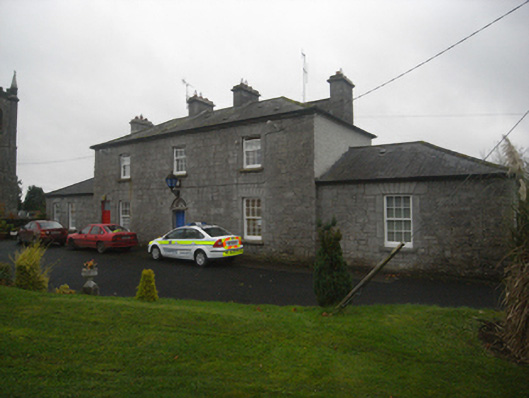 Monivea Garda Síochána Stationrectory/glebe/vicarage/curate's house · 1064 yd
 CaherlissakillFairy fort / ringfort · 1.2 mi
 LaghtaLeacht cuimhne · 1.5 mi
 Monivea CastleCastle · 1.6 mi
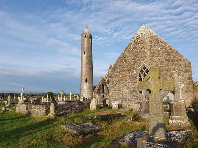 Killaclogher CastleCastle · 2.1 mi
 The HazelWood · 2.7 mi
 SycamoreSycamore · 3.4 mi
 First Battle of Athenrybattle · 4.3 mi
 Athenry CastleHeritage attraction · 4.9 mi
 Athenry AbbeyHeritage attraction · 5.0 mi
 Menlough IRAMemorial · 6.9 mi