
What is recorded here
In grassland. Subcircular cashel (E-W 40m, N-S 35.5m), in fair condition, defined by an inner drystone wall, a berm, an earthen bank, a fosse, a berm and a poorly preserved outer drystone wall. The latter is cut by a field wall at W, and all the enclosing elements have been partially destroyed at SE and SW. A gap at SE, although modern, may have given original access. In SW sector of the interior is a Man-made underground passage (GA071-014001-). There is also a small circular earthwork (D 9m) c. 5m NE of the cashel. Defined by a grassed-over stony bank, it has traces of an internal subdivision: possibly a house.
The above description is derived from the published 'Archaeological Inventory of County Galway Vol. II - North Galway'. Compiled by Olive Alcock, Kathy de hÓra and Paul Gosling (Dublin: Stationery Office, 1999).
Date of upload: 05 August 2010
Caherlissakill is a subcircular early-medieval ringfort, likely dating to between the 6th and 10th centuries AD, featuring multiple defensive elements including drystone walls, a fosse, and berms. Local folklore, though sparse, may associate such sites with fairy dwellings or ancient chieftains, as is common with many Irish raths.
The monument record does not grant public access. Check the route and ask the landowner before entering private land.
- What survives
- Recorded monument
Places near here
 Man-made underground passageMan-made underground passage · 1208 yd
 R. C. ChapelChurch · 1498 yd
 Tober PatrickHoly well · 1.2 mi
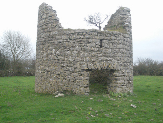 mill (wind)mill (wind) · 1.5 mi
 Castle FrenchCastle, unclassified · 1.5 mi
 CashlaundarraghCastle · 1.7 mi
 The HazelWood · 2.0 mi
 SycamoreSycamore · 2.2 mi
 Knockmoy AbbeyHeritage attraction · 4.2 mi
 First Battle of Athenrybattle · 4.8 mi
 Menlough IRAMemorial · 7.4 mi
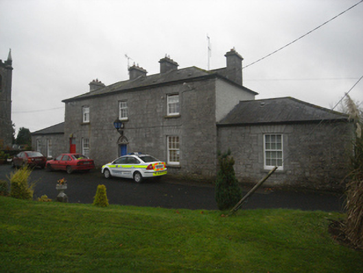 Monivea Garda Síochána Stationrectory/glebe/vicarage/curate's house · 1.5 mi
Other information
Photo: Credit not shown in the picture search · Rights wording not checked; contact us if this picture should be removed