
What is recorded here
On N side of the main street in the estate village of Monivea. Marked but not named on 1st ed. of OS 6-inch map. All that survives is E gable and adjoining sections of N and S side-walls of this rectangular church (E-W; L c. 10.5m, Wth 6m ext.) The only surviving architectural feature is a partially blocked pointed arch window in E gable. Probably an RC Chapel of 18th- or 19th-C-date.
The above description is derived from the published 'Archaeological Inventory of County Galway Vol. II - North Galway'. Compiled by Olive Alcock, Kathy de hÓra and Paul Gosling (Dublin: Stationery Office, 1999).
Date of upload: 05 August 2010
A local church or high cross; wider significance not recorded.
The monument record does not grant public access. Check the route and ask the landowner before entering private land.
- What survives
- Recorded monument
Places near here
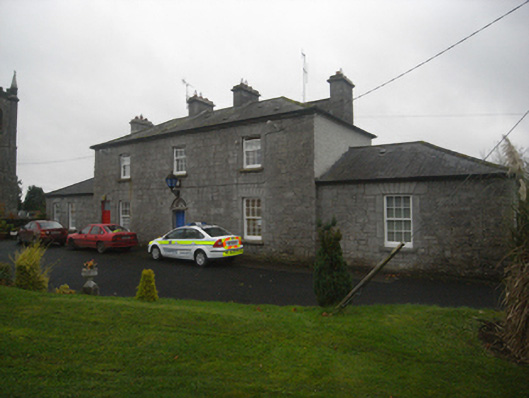 Monivea Garda Síochána Stationrectory/glebe/vicarage/curate's house · 229 yd
 Monivea Churchchurch/chapel · 285 yd
 CaherlissakillFairy fort / ringfort · 1.4 mi
 Enclosure in Ballynaboorkagh,killaclogherEnclosure · 1.5 mi
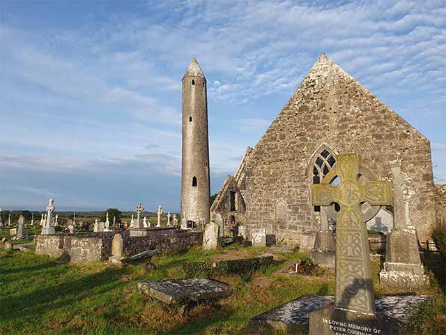 Killaclogher CastleCastle · 1.5 mi
 CashlaundarraghCastle · 1.9 mi
 The HazelWood · 3.1 mi
 SycamoreSycamore · 3.5 mi
 First Battle of Athenrybattle · 4.7 mi
 Knockmoy AbbeyHeritage attraction · 4.8 mi
 Menlough IRAMemorial · 6.4 mi
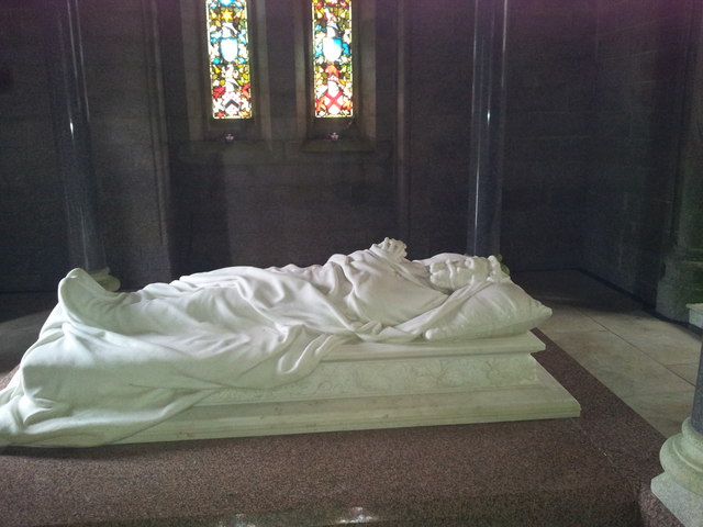 Monivea Castlemausoleum · 1307 yd
Other information
Photo: Credit not shown in the picture search · Rights wording not checked; contact us if this picture should be removed