What is recorded here
The following description is derived from both the published 'Archaeological Inventory of County Louth' (Dublin: Stationery Office, 1986) and the 'Archaeological Survey of County Louth' (Dublin: Stationery Office, 1991). In certain instances the entries have been revised and updated in the light of recent research.
Date of upload/revision: 17 July 2007
Locally known as 'the graveyard field'; bones unearthed in the vicinity. (IFC Schools MSS 668, 221).
The monument record does not grant public access. Check the route and ask the landowner before entering private land.
- What survives
- Recorded monument
Places near here
 CastleCastle, unclassified · 451 yd
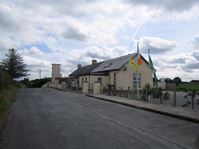 Stonetown National Schoolschool · 783 yd
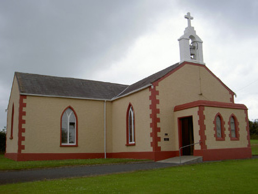 Catholic Church of Our Lady of the Snowschurch/chapel · 1037 yd
 Pit-burial in CornagarvogePit-burial · 1618 yd
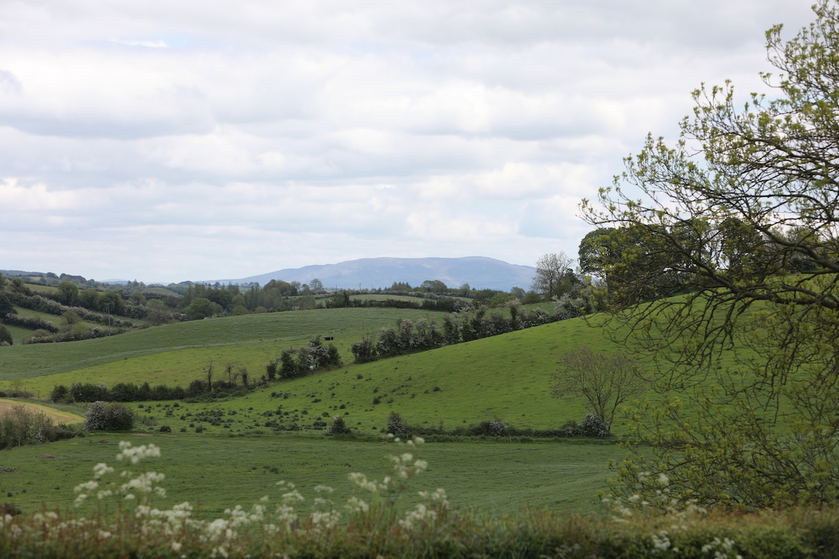 LisawollyFairy fort / earthen ringfort · 1.1 mi
 RathneestinCastle, tower house · 3.3 mi
:no_upscale()/cdn.vox-cdn.com/uploads/chorus_asset/file/25593391/County_Louth_6th.jpg) LouthMountain / peak · 3.3 mi
LouthMountain / peak · 3.3 mi Flat cemetery in AnnaheanFlat cemetery · 3.8 mi
 Long PlantationForest · 5.1 mi
 TobernagalliaghSpring · 6.1 mi
 Ballsmill Amenity LandPicnic place · 8.0 mi
 Sky HillMountain / peak · 8.0 mi