What is recorded here
Indicated on the 1907 edition of the OS 6-inch map as a roughly rectangular enclosure (max. dims. c. 80m N-S; 50m E-W). A raised area (H c. 1m) enclosed by a wide shallow drain on S and E sides mark the site. Carrigan (1905, vol. 2, 140) suggests that this may be the burial ground associated with Coolowley Church (LA027-012). No grave-markers visible.
Described by Carrigan as 'About 100 yards south of the church is an irregularly-shaped oval enclosure, 60 perches in area and raised 2 or 3 ft. over the surrounding land; it is defended by a fosse and external rampart. The enclosure shows no remains of buildings or foundations; it may have been the burial place belonging to the church' (Carrigan 1905, vol. 2, 140).
The above description is derived from the published 'Archaeological Inventory of County Laois' (Dublin Stationery Office, 1995) compiled by P. David Sweetman, Olive Alcock and Bernie Moran. In certain instances the entries have been revised and updated in the light of recent research.
Date of upload: 17 December 2007
The monument record does not grant public access. Check the route and ask the landowner before entering private land.
- What survives
- Recorded monument
Places near here
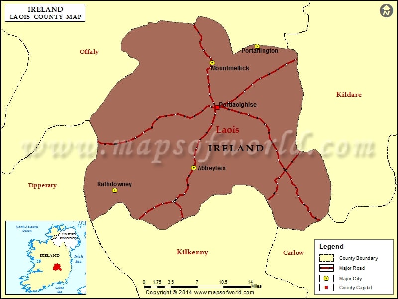 IndicatedChurch · 166 yd
 CastleCastle, unclassified · 1741 yd
 Enclosure in DunaclegganEnclosure · 1.1 mi
 Burial Ground (Disused)Church · 1.2 mi
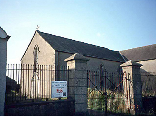 Saint Columba's Catholic Churchchurch/chapel · 1.2 mi
 Bawn in Castlefleming Stubber,garrisonBawn · 1.3 mi
 Clonmeen WoodWood · 3.9 mi
 Carricknasrock WoodWood · 4.4 mi
 Black HillMountain / peak · 4.6 mi
 Cnoc SeanrathaMemorial · 5.6 mi
 College HillMountain / peak · 8.6 mi
 DelaneyMemorial · 9.3 mi