What is recorded here
An Reilig Beag is a small pear-shaped burial ground on an exposed Donegal slope, narrowing to seven metres at its eastern end while rising nearly three metres at the west. The Atlantic glitters to the north, and the dead lie within a shallow earthen frame rather than a grand monument. People may have chosen the view because departure becomes easier when the horizon is wide enough to swallow grief.
Internal Dimensions c. 29m W-E, c. 22m N-S
The site consists of an area, pear-shaped in plan narrowing to 7m across at its E end. The E end of the monument is almost level with the outside ground, but it has been raised to a maximum height of almost 3m at its W end. There are short stretches of insubstantial earthen bank (DG025-043001-) along the perimeter on the S and NW sides .3m in height and a field boundary crosses the site to the E. A scarp of varying width encloses the site on the N, W and S sides, creating a rectangular frame with the field boundary to the E. The site is located on an exposed slope overlooking ground to the S and W and the Atlantic to the N. There is good grazing and limited tillage. The site is known locally as An Reilig Beag (the small graveyard).
The above description was derived from the 'Archaeological Survey of County Donegal. A description of the field antiquities of the County from the Mesolithic Period to the 17th century.' Compiled by: Brian Lacey with Eamon Cody, Claire Cotter, Judy Cuppage, Noel Dunne, Vincent Hurley, Celie O'Rahilly, Paul Walsh and Seán Ó Nualláin (Lifford: Donegal County Council, 1983). In certain instances the entries have been revised and updated.
Compiled by: Caimin O'Brien
Date of upload: 22 September 2008
The monument record does not grant public access. Check the route and ask the landowner before entering private land.
- What survives
- Recorded monument
Places near here
 IndicatedChurch · 163 yd
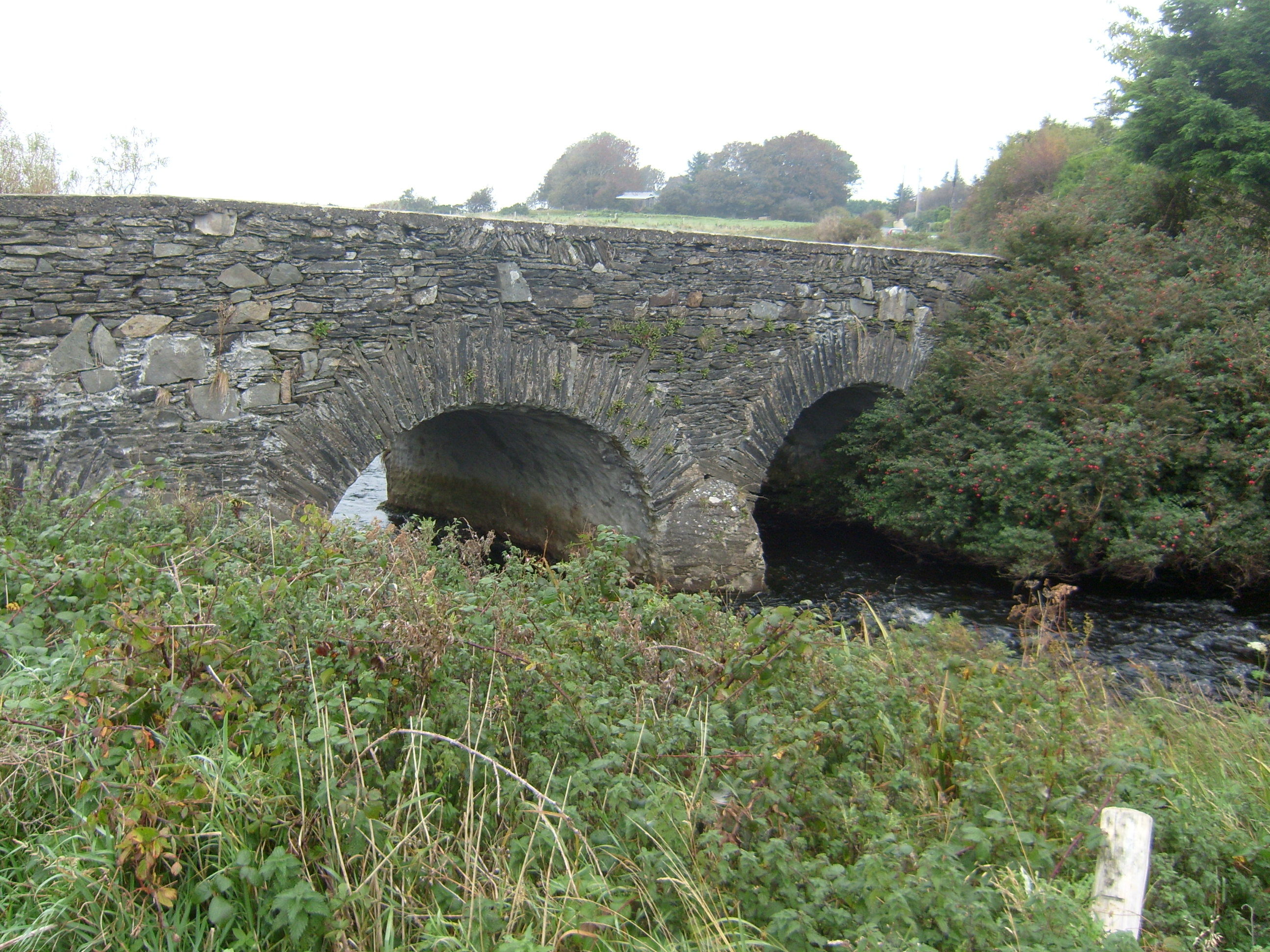 Tullaghobegly Bridgebridge · 609 yd
 Enclosure in An Cheathrú CheanainnEnclosure · 1179 yd
 Cashelmacadowan FortFairy fort / stone ringfort · 1314 yd
 Castle Bawne (in Ruins)Bawn · 1.2 mi
 Monterey CypressMonterey Cypress · 1.2 mi
 Wych ElmWych Elm · 1.3 mi
 Trá Dhroim na TineBeach / strand · 2.2 mi
 DrumnatinnyOfficial bathing water · 2.5 mi
 The Bridge of TearsMemorial · 4.3 mi
 MuckishMountain / peak · 4.3 mi
 Aghla MoreMountain / peak · 4.4 mi