
More pictures of this place


Places near here
Photo credits
- Rossographer, Wikimedia Commons
- Wanfried-Dublin, Wikimedia Commons · CC BY-SA 4.0
- Ronnie Nijboer, Wikimedia Commons · CC0
- National Inventory of Architectural Heritage
- VisionsofthePast, Wikimedia Commons · CC BY-SA 4.0
- Golfing in Ireland; photographer not stated, Source publisher
- Vadim Manuylov, Wikimedia Commons · CC BY-SA 3.0
- Donegal Daily; individual photographer not named on the article, www.donegaldaily.com
- Picture: Go Visit Donegal
- P L Chadwick, Geograph · CC BY-SA 2.0
- Kenneth Allen, Geograph · CC BY-SA 2.0
 Trá Dhroim na TineBeach / strand · 857 yd
Explorer Tom Trá Dhroim na Tine gives Falcarragh a broad sandy stage, with Ballyness Bay in front and Donegal hills waiting behind…
 Dermot and Granias BedPortal tomb · 1.2 mi
Explorer Tom Dermot and Granias Bed is a pretty ruinous portal tomb, mostly just two stones standing up in the grass. It’s named…
 Wych Elm1.3 mi
Explorer Tom Wych Elm is writing a strongly worded letter to the council complaining about the noise from the new traffic lights…
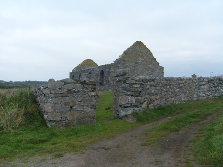 graveyard/cemetery1.3 mi
Explorer Tom Graveyard or cemetery in Ray holds a large ringed cross that looks like it is wearing a permanent halo. I reckon it has…
 Stone CrossCross, High cross · 1.3 mi
Explorer Tom Stone Cross at Ráith is a 5.56m giant that’s just been propped up on modern concrete. It used to lie broken in the…
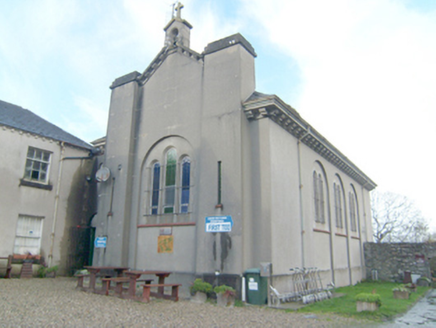 Coláiste BhrídeChurch/chapel · 1.3 mi
Explorer Tom Coláiste Bhríde has a tiny bellcote sitting right on the roof peak! Built around 1930, I wonder if that little bell…
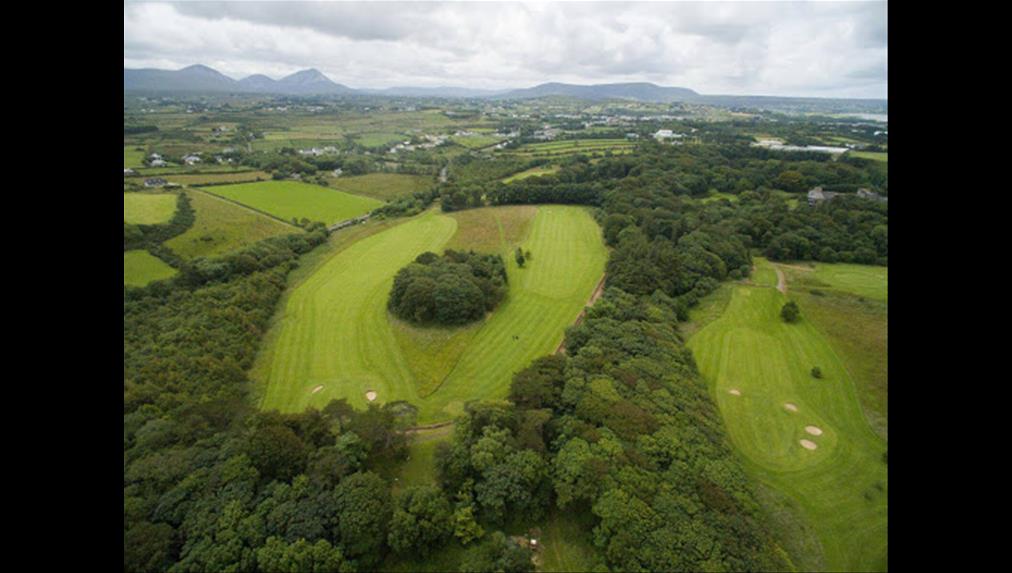 Cloughaneely Golf ClubGolf course · 1.3 mi
 Monterey Cypress1.3 mi
Explorer Tom Monterey Cypress in County Donegal is always getting picked on by the wind because it stands out like a sore thumb on…
 Páirc Naomh Fionnán, Cloughaneely GAAGAA ground · 1.6 mi
 An tSean BharicVisitor information · 1.9 mi
Explorer Tom An tSean Bheairic in Falcarragh has the glorious nerve to turn an old barracks into a place for art, conversation…
 Corner BarPub · 2.0 mi
Explorer Tom Corner Bar sits where the railway used to be, mourning lost trains while serving pints. The bishop refused to visit…
 The Shamrock LodgePub · 2.0 mi
Explorer Tom The Shamrock Lodge on Main Street is green enough to make your eyes water from sheer irony and poor lighting choices. A…
More beaches and strands in County Donegal · All of County Donegal

What do you know about this place?Tap to add a comment or ask a question