
What is recorded here
The 'Fort' shown on the three editions of the OS 6-inch maps has been removed. The immediate area is very wet and marshy but there is dry, level land suitable for grazing close-by.
The above description was derived from the 'Archaeological Survey of County Donegal. A description of the field antiquities of the County from the Mesolithic Period to the 17th century.' Compiled by: Brian Lacey with Eamon Cody, Claire Cotter, Judy Cuppage, Noel Dunne, Vincent Hurley, Celie O'Rahilly, Paul Walsh and Seán Ó Nualláin (Lifford: Donegal County Council, 1983). In certain instances the entries have been revised and updated.
Date of upload: 22 September 2008
This remains an important historical record, but the official description says the monument is no longer visible or has been destroyed. The monument record does not grant public access. Check the route and ask the landowner before entering private land.
- What survives
- No visible remains or recorded as destroyed
Places near here
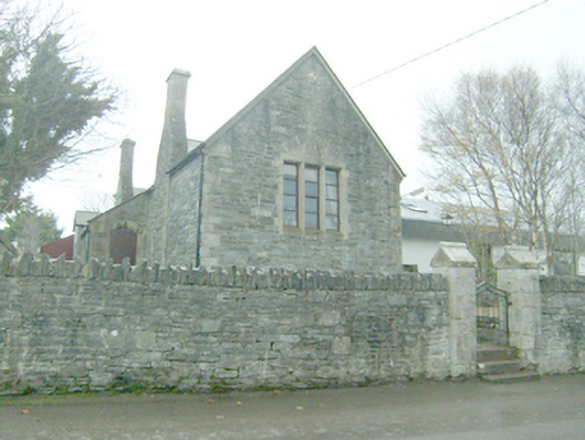 Áras Begleyschool · 150 yd
 Cashelmacadowan FortFairy fort / stone ringfort · 278 yd
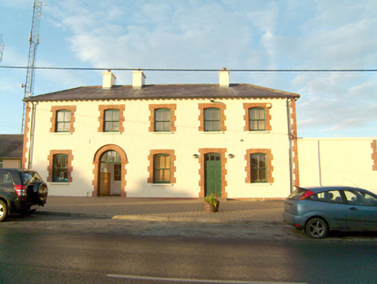 An tSean Bheairic [The Old Barrack]RIC barracks · 355 yd
 Monterey CypressMonterey Cypress · 955 yd
 Wych ElmWych Elm · 1104 yd
 Castle Bawne (in Ruins)Bawn · 1670 yd
 Stone CrossCross, High cross · 1.3 mi
 Trá Dhroim na TineBeach / strand · 1.5 mi
 DrumnatinnyOfficial bathing water · 1.9 mi
 Inis Bó FinneIsland · 4.2 mi
 MuckishMountain / peak · 4.6 mi
 Oileán DúicheIslet · 4.7 mi
Other information
Photo: Credit not shown in the picture search · Rights wording not checked; contact us if this picture should be removed