
What is recorded here
Mutton's Burial Ground, a forgotten churchyard on a ridge in West Cork, has been ploughed into shapeless soil. No wall remains to mark its edge, only scattered stones and the memory of a community that stopped coming. The land has taken back what ceremony once gave it, erasing the boundary between the living and the dead.
In tillage on crest of ridge. Marked 'Burial Ground' on OS 6-inch map (1842). Irregular area defined by overgrowth; partially destroyed by ploughing. Some grave markers noted.
The above description is derived from the published 'Archaeological Inventory of County Cork. Volume 1: West Cork' (Dublin: Stationery Office, 1992). In certain instances the entries have been revised and updated in the light of recent research.
Date of upload/revision: 14 January 2009
The monument record does not grant public access. Check the route and ask the landowner before entering private land.
- What survives
- Recorded monument
Places near here
 Bawn in ArdintenantBawn · 650 yd
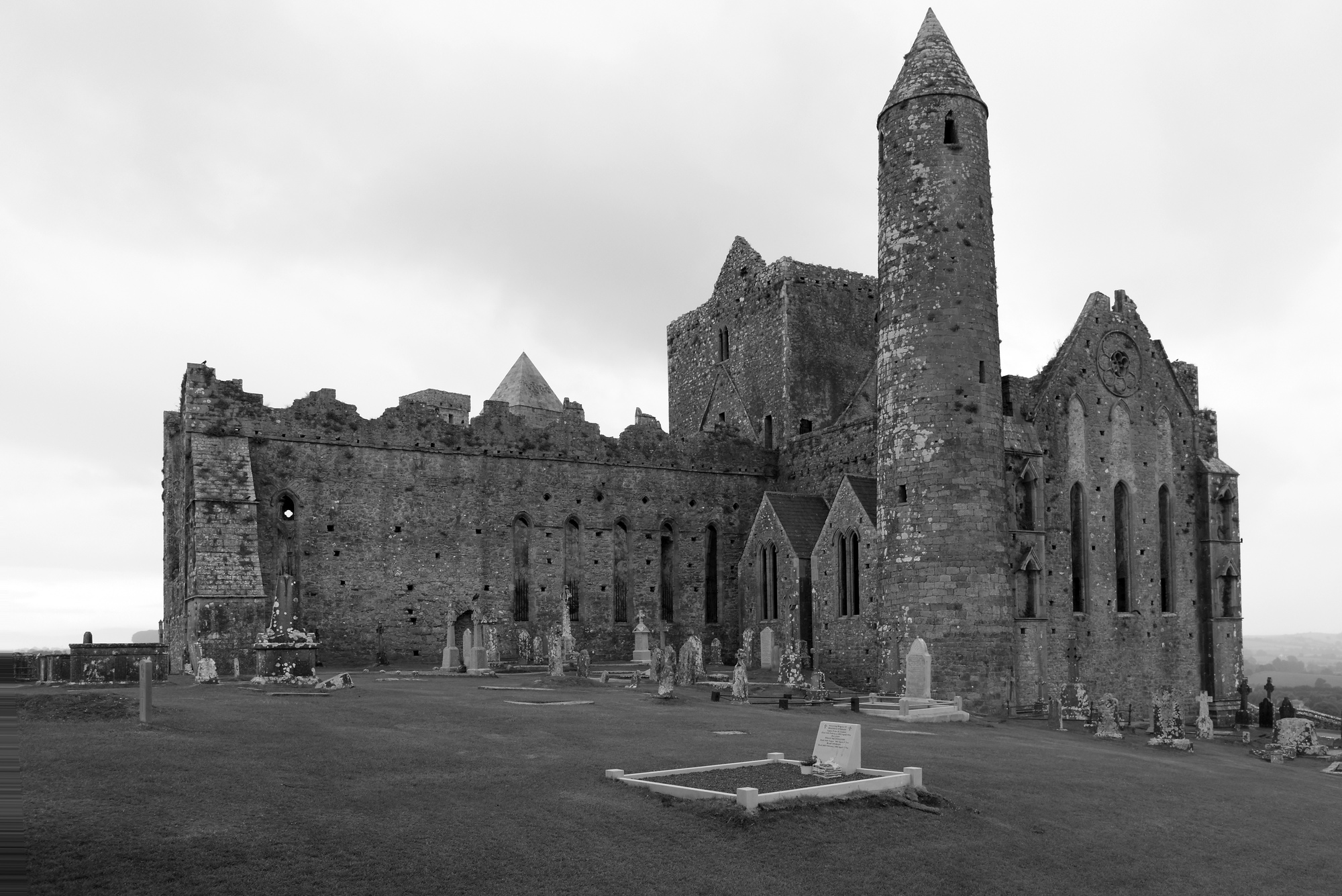 Mass-rock in CoosheenMass-rock · 911 yd
 Childrens Burial Gd (Disused)Burial ground · 931 yd
 Mountgabriel MillsMine, barytes · 1040 yd
 Cadogan's StrandHeritage attraction · 1714 yd
 Schull "An Taisce"Visitor information · 1740 yd
 Schull HarbourBay · 1.1 mi
 Coosheen PointHeadland · 1.3 mi
 Castle (in Ruins)Castle, tower house · 1.3 mi
 McCarthy's Garagehouse · 1.4 mi
 Sailor's HillViewpoint · 1.9 mi
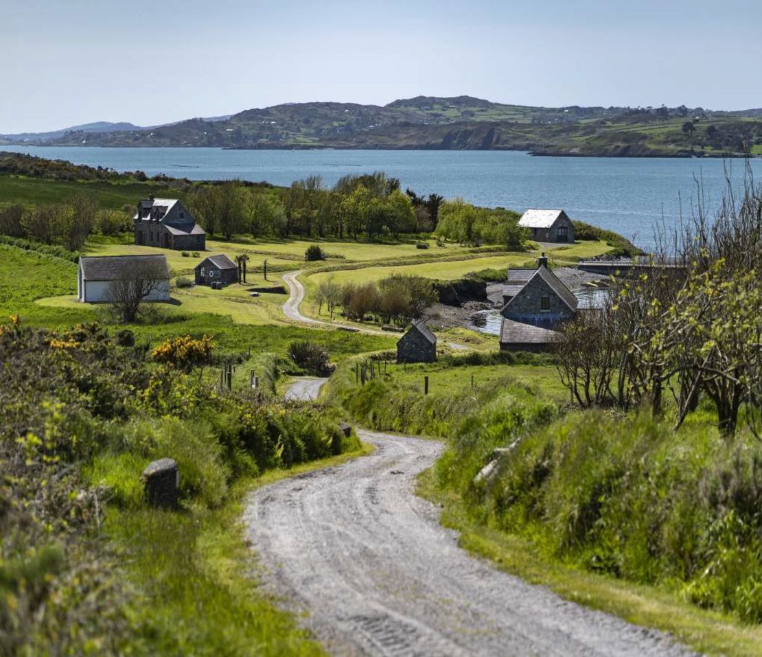 Horse IslandIsland · 2.1 mi
Other information
Photo: Credit not shown in the picture search · Rights wording not checked; contact us if this picture should be removed