What is recorded here
In rolling pasture, located on the E edge of area of wet ground. There is a field drain, flanking a modern road, a few meters to NW. Low, oval-shaped rise (c. 8m NNW-SSE; c. 6m ENE-WSW) composed of shattered sandstone within a charcoal matrix. From S-NW the defining element is a scarp (H 0.6m). Elsewhere the perimeter is less easily traced. There is another burnt mound (SL019-223---) located c. 140m to SW.
Compiled by: Jane O'Shaughnessy
Date of upload: 12 May 2011
Burnt mound in Bunnafedia is a Neolithic ritual or industrial site, dating to approximately 4000–2500 BCE. Its significance lies in providing evidence of early human activity, possibly related to cooking, feasting, or ceremonial practices.
The monument record does not grant public access. Check the route and ask the landowner before entering private land.
- What survives
- Recorded monument
Places near here
 Giant's GraveArchaeological place · 1522 yd
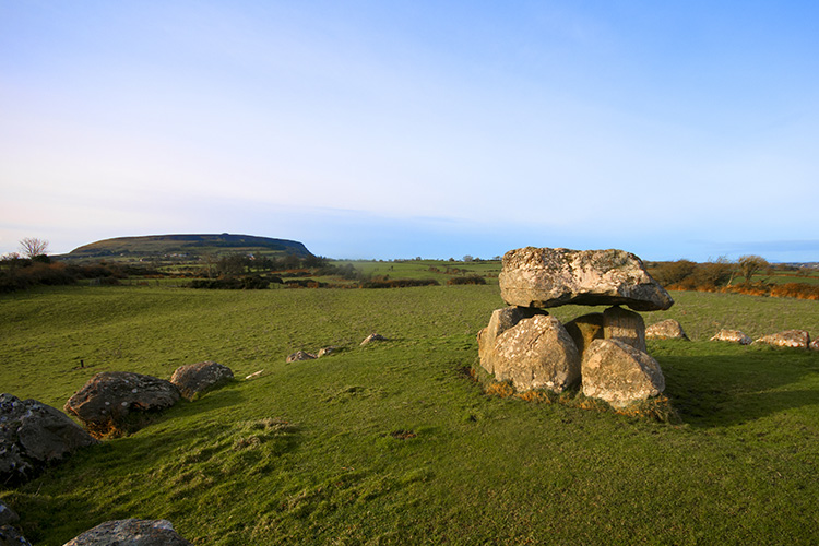 Megalithic structure in CarrowgilhoolyMegalithic structure · 1602 yd
 Enclosure in CarrowmorrisEnclosure · 1607 yd
 CastleCastle, ringwork · 1692 yd
 BawnmoyleRuins · 1.3 mi
 Bawn in CarrowbrickeenBawn · 1.3 mi
 Derk HouseOfficially recorded historic building · 1.4 mi
 Lahanacappul IslandIslet · 1.4 mi
 Ballinlig PointHeadland · 1.6 mi
 Portavaud PointHeadland · 1.6 mi
 Valley WoodForest · 1.9 mi
 European ashEuropean ash · 2.1 mi