What is recorded here
In the field surrounding the S portion of Garrabaun church (TN018-010001-) and graveyard (TN018-010003-), c. 40m from the W wall of the graveyard and within the SW sector of the possible ecclesiastical enclosure (TN018-010002-), which is 115m in diameter N-S. This is an ecclesiastical site founded by Augustinian canons in the twelfth/thirteenth century (Gleeson 1915, 347).
The bullaun, identified and reported by Derek Ryan, consists of a roughly triangular-shaped earthfast boulder with four deep circular depressions in a row along the length of the boulder’s surface.
See attached photograph by Derek Ryan:
TN018-010004-_01 Bullaun with graveyard (TN018-010003-) in background
Compiled by: Jean Farrelly
Date of upload: 6 March 2023
Likely dating to the early Christian period, the bullaun stone may have been used for ritual purposes, such as the preparation of holy water or as a baptismal font. Such stones are often associated with monastic or ecclesiastical sites and may have had both religious and symbolic significance in local Christian tradition.
The monument record does not grant public access. Check the route and ask the landowner before entering private land.
- What survives
- Recorded monument
Places near here
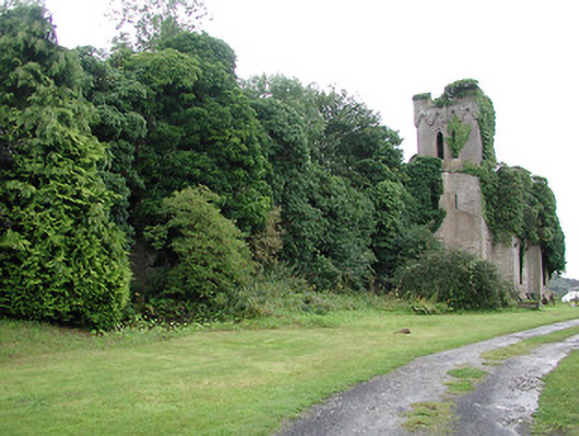
 Garrabaun Church (in ruins)Church · 70 yd
 Ecclesiastical enclosure in TimoneyEcclesiastical enclosure · 87 yd
 Timoney Parkcountry house · 489 yd
 Fulacht fia in Cullaun,timoney HillsFulacht fia · 1639 yd
 Carricknasrock WoodWood · 1735 yd
 Black HillMountain / peak · 1.5 mi
 Rockforest Ho.Castle, unclassified · 1.6 mi
 Castle (in Ruins)Bawn · 1.9 mi
 European BeechEuropean Beech · 2.6 mi
 Saint Kieran's WellSpring · 3.9 mi
 Roscrea Petty Sessions HouseHeritage attraction · 4.1 mi
 Millennium GardenMemorial · 4.4 mi