What is recorded here
Situated at the E end of a short, steep-sided ridge in undulating pastureland. The ground falls particularly steeply from W to N. This small subrectangular building is defined by grassed-over stone walls. It 4.5m E-W and 2.9m N-S. The interior is 0.9m lower than the surrounding ground level. A gap at E is 2m wide. A house site (GA104-292----) lies c. 12m to the N.
Compiled by: Olive Alcock
Date of upload: 10 April 2018
The monument record does not grant public access. Check the route and ask the landowner before entering private land.
- What survives
- Recorded monument
Places near here
 LissataggartFairy fort / earthen ringfort · 300 yd
 Fairy fort / stone ringfort in Roo (dunkellin By.)Fairy fort / stone ringfort · 411 yd
 Roo Castle (in ruins)Castle, tower house · 773 yd
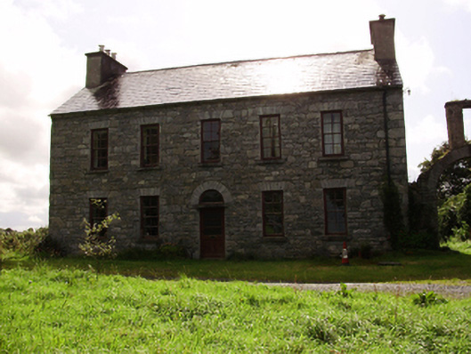 Kilquain Househouse · 991 yd
 CarnanthomasCastle, unclassified · 1160 yd
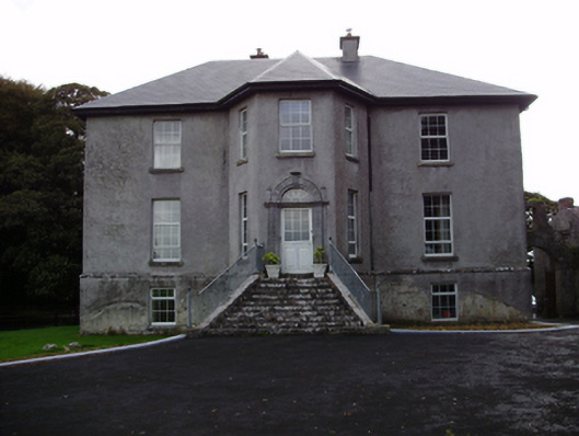 Aggard Housecountry house · 1528 yd
 Moyard WoodWood · 3.5 mi
 Kilcornan ForestWood · 5.6 mi
 Drumharsna CastleHeritage attraction · 6.8 mi
 MweenisharanIslet · 8.8 mi
 LisdooFairy fort / stone ringfort · 703 yd
 Enclosure in ColesgroveEnclosure · 1186 yd