
What is recorded here
In undulating pastureland. Circular rath (diam. 41.7m), in fair condition, defined by two banks and an intervening fosse. The inner bank is visible all round. Traces of the fosse are evident from SSE to W to N and the outer bank survives from SW through N to NNE. From NNW to N its line is marked by upright boulders. There is a Man-made underground passage (GA104-258001-) in the SW quadrant of the interior.
Compiled by: Galway Archaeological Survey, UCG
Date of upload: 10 April 2018
A local fairy fort (ringfort/rath); wider significance not recorded.
The monument record does not grant public access. Check the route and ask the landowner before entering private land.
- What survives
- Recorded monument
Places near here
 LisdooFairy fort / stone ringfort · 406 yd
 Fairy fort / stone ringfort in Roo (dunkellin By.)Fairy fort / stone ringfort · 707 yd
 Roo Castle (in ruins)Castle, tower house · 844 yd
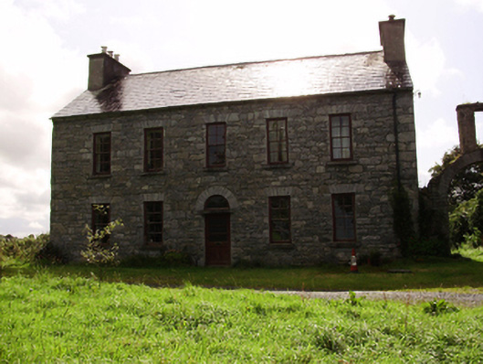 Kilquain Househouse · 1140 yd
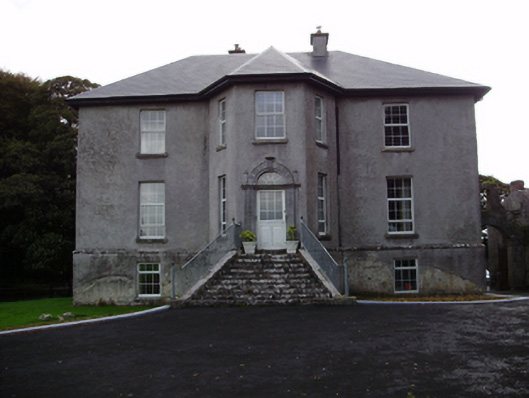 Aggard Housecountry house · 1229 yd
 CarnanthomasCastle, unclassified · 1442 yd
 Moyard WoodWood · 3.5 mi
 Kilcornan ForestWood · 5.4 mi
 Drumharsna CastleHeritage attraction · 6.7 mi
 MweenisharanIslet · 8.7 mi
 LisnakehernyFairy fort / earthen ringfort · 1070 yd
 IndicatedFairy fort / ringfort · 1202 yd
Other information
Photo: Credit not shown in the picture search · Rights wording not checked; contact us if this picture should be removed