
What is recorded here
In undulating pastureland, overlooking a turlough to the S. Classified by McCaffrey (1952, 249, no. 16b)
as an oval ‘Stone fort’ (37.2m N-S; 26.2m E-W) defined by a bank of earth and stone and a silted narrow external fosse. When inspected in December 1982 the monument was poorly preserved and the enclosing bank appeared to be more rectangular in plan. No trace of the fosse was evident. On re-inspection in October 2001 double-wall facing was evident at ESE suggesting that this was a cashel. Deep tractor ruts ran E-W just inside the N limits of the site. A possible hut site (GA104-261----) lies c. 25m to the S.
Compiled by: Galway Archaeological Survey, UCG
Date of upload: 18 June 2019
The monument record does not grant public access. Check the route and ask the landowner before entering private land.
- What survives
- Recorded monument
Places near here
 LissataggartFairy fort / earthen ringfort · 707 yd
 CarnanthomasCastle, unclassified · 760 yd
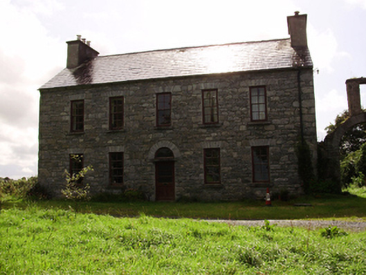 Kilquain Househouse · 832 yd
 Enclosure in ColesgroveEnclosure · 840 yd
 Roo Castle (in ruins)Castle, tower house · 929 yd
 Ballymanagh Ho.House, 18th/19th century · 1512 yd
 Moyard WoodWood · 3.6 mi
 Kilcornan ForestWood · 5.8 mi
 Drumharsna CastleHeritage attraction · 6.8 mi
 MweenisharanIslet · 9.1 mi
 LisdooFairy fort / stone ringfort · 1101 yd
 IndicatedFairy fort / ringfort · 1390 yd
Other information
Photo: Credit not shown in the picture search · Rights wording not checked; contact us if this picture should be removed