What is recorded here
Fairy fort / earthen ringfort in Bryanstown is a fairy fort or earthen ringfort in Bryanstown, County Westmeath, Ireland. The 1971 description recorded a roughly circular area enclosed by a bank with no clear entrance feature visible, noting gaps at the northeast and east-southeast where a trench on the inner side modified the bank to form a later field boundary. A 1976 account stated that no surface remains were visible, a condition also noted in today’s aerial imagery of the levelled monument.
Situated on a slight rise, in pasture, with good views of Lough Ennell to SE. Earthworks (WM025-024----) lie c. 180m to NE. Depicted on the revised 1913 ed. OS 25-inch map as a circular-shaped earthwork. Monument described in 1971 as a roughly circular-shaped area enclosed by a bank with no clear entrance feature visible. There are gaps in the bank at NE and ESE and it has been modified from NE-ESE with a trench on the inner side of the bank to form a later field boundary. Monument clearly visible on oblique aerial photograph (CUCAP AOZ009/10) taken 12/07/1966. Monument described in 1976 as no surface remains visible. No surface remains visible today of levelled monument on Digital Globe aerial photographs.
Compiled by Alison McQueen, Vera Rahilly and Caimin O’Brien.
Date of upload: 05 September 2019
The monument record does not grant public access. Check the route and ask the landowner before entering private land.
- What survives
- Recorded monument
Places near here
 Tober FintanHoly well · 842 yd
 IndicatedFairy fort / earthen ringfort · 1095 yd
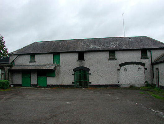 Barrettstown Houseoutbuilding · 1641 yd
 Jamestown Househouse · 1.1 mi
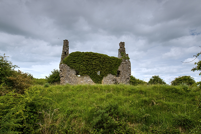 Dundonnell CastleCastle, unclassified · 1.2 mi
 Dysart Ho. (in ruins)Castle, unclassified · 1.2 mi
 Ancient Ring FortWood · 1.5 mi
 Ash IslandIslet · 2.2 mi
 Dysart IslandIsland · 2.5 mi
 Hill of UisneachMountain / peak · 4.6 mi
 Sessile OakSessile Oak · 9.1 mi
 Bonfire HillMountain / peak · 9.8 mi