What is recorded here
Fairy fort / earthen ringfort in Bryanstown is a fairy fort or earthen ringfort in Bryanstown, County Westmeath, Ireland. The site sits on a low rise in pasture with good views to the southeast, south and southwest. It is a sub-circular area measuring 23 metres from northeast to southwest, defined by a scarp, an intervening fosse and an outer bank. The scarp is low from northwest through north to east and south, but steep from southwest to west, while its exterior has been quarried from south to southwest.
Situated on a low rise, in pasture, with good views to SE, S and SW. Monument described as a sub-circular-shaped area (dims. 23m NE-SW) defined by a scarp, an intervening fosse and an outer bank. The scarp is low from NW-N-E-S and is steep from SW-W. The exterior of the scarp has been quarried from S-SW. A wide, low inner bank is visible at W. The shallow intervening fosse and low outer bank are visible at W. The interior has a S-facing slope. A field fence running NE-SW traverses the monument. Outline of levelled monument barely visible today on Digital Globe aerial photographs.
Compiled by Alison McQueen, Vera Rahilly and Caimin O’Brien.
Date of upload: 05 September 2019
The monument record does not grant public access. Check the route and ask the landowner before entering private land.
- What survives
- Recorded monument
Places near here
 Tober FintanHoly well · 193 yd
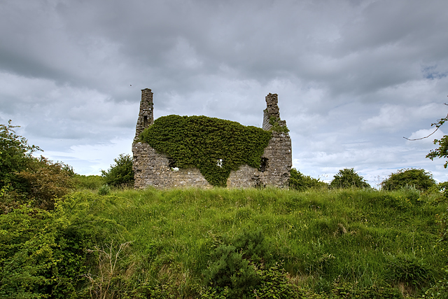 Dundonnell CastleCastle, unclassified · 1400 yd
 Jamestown Househouse · 1454 yd
 Bawn in Tuitestown (moyashel & Magheradernon By.)Bawn · 1675 yd
 IndicatedFairy fort / earthen ringfort · 1.1 mi
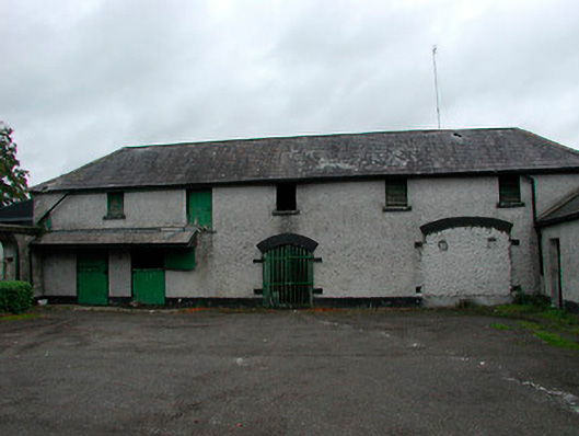 Barrettstown Houseoutbuilding · 1.2 mi
 Ancient Ring FortWood · 1.2 mi
 Ash IslandIslet · 2.7 mi
 Hill of UisneachMountain / peak · 4.3 mi
 Carrickphilbin IslandIslet · 5.0 mi
 Sessile OakSessile Oak · 8.7 mi
 Abbeyshrule AbbeyRuins · 9.8 mi