What is recorded here
In marshy low-lying pastureland. Recorded by Cody (1989, 157, no. 13) and described as a roughly circular slightly raised area (diam. c. 10m) with a scatter of burnt stone on its surface, suggesting that it might be a largely levelled fulacht fia. No visible surface trace survives. Another fulacht fia (GA096-016002-) lies c. 135m to the NNW.
Compiled by: Galway Archaeological Survey, UCG
Date of upload: 18 November 2019
The monument record does not grant public access. Check the route and ask the landowner before entering private land.
- What survives
- Recorded monument
Places near here
 R.C. ChapelChapel · 582 yd
 IndicatedHoly well · 760 yd
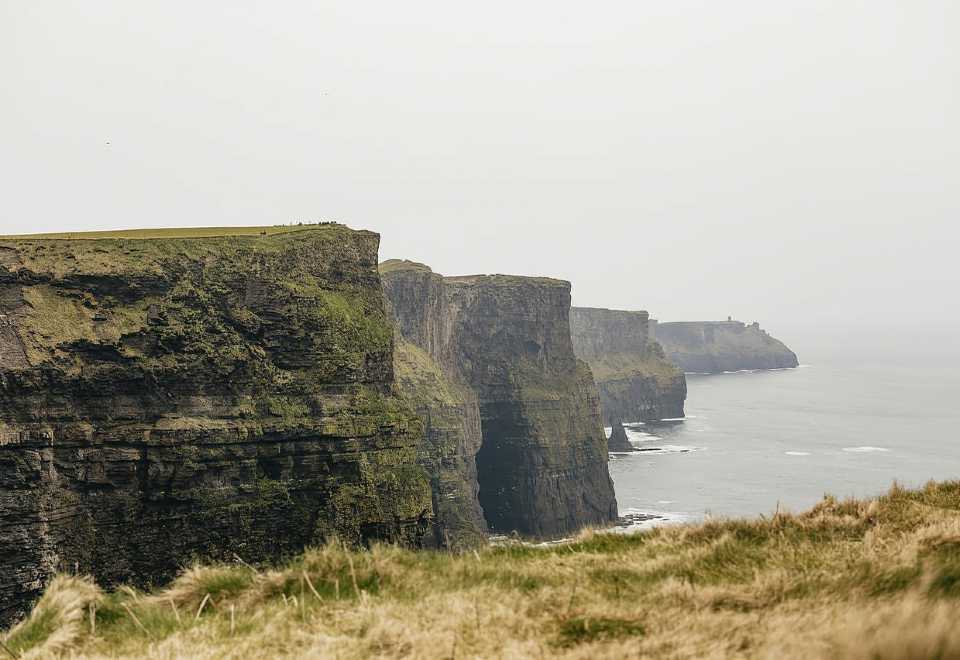 Curraghmore FortFairy fort / earthen ringfort · 776 yd
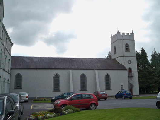 Saint Patrick's Redemptorist Monasterychurch/chapel · 922 yd
 MoteCastle, motte and bailey · 1175 yd
 Badhbunmore Castle (in ruins)Castle, unclassified · 1.2 mi
 Moyard WoodWood · 1.5 mi
 Athenry AbbeyHeritage attraction · 3.2 mi
 Athenry CastleHeritage attraction · 3.2 mi
 Horse-chestnutHorse-chestnut · 3.5 mi
 First Battle of Athenrybattle · 3.8 mi
 Barrack IslandIslet · 6.9 mi