What is recorded here
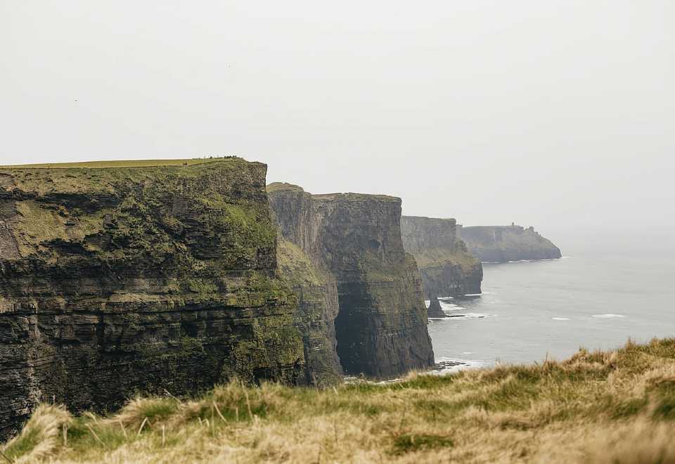
No visible bank survives at the north, yet the fort holds its shape on a gentle south-facing slope. A field wall cuts through the ancient ring at north-west and north-east, while the interior grows vegetables instead of memory. The boundary has become a garden bed, the fort an ordinary lunchplace where soil and wall collide without warning.
On a gentle S-facing slope in pastureland. Classified by Cody (1989, 191-2, no. 44) as a
subcircular rath (31m N-S; 29m E-W) defined by a bank, no visible surface trace of which survives at N. A field wall cuts through the monument at NW and NE and the interior is used as a vegetable garden.
Compiled by: Galway Archaeological Survey, UCG
Date of upload: 7 December 2017
The monument record does not grant public access. Check the route and ask the landowner before entering private land.
- What survives
- Recorded monument
Places near here
 Enclosure in OldcastleEnclosure · 867 yd
 MoteCastle, motte and bailey · 899 yd
 IndicatedBawn · 1065 yd
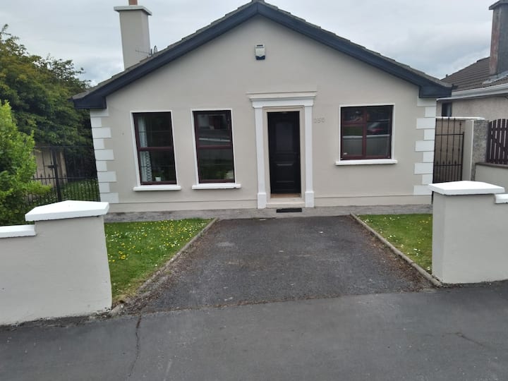 Enclosure in BruskEnclosure · 1128 yd
 R.C. ChapelChapel · 1235 yd
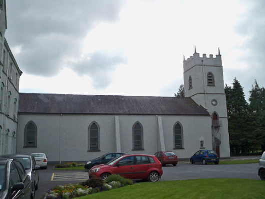 Saint Patrick's Redemptorist Monasterychurch/chapel · 1519 yd
 Moyard WoodWood · 1.8 mi
 Athenry AbbeyHeritage attraction · 3.6 mi
 Athenry CastleHeritage attraction · 3.7 mi
 Horse-chestnutHorse-chestnut · 3.9 mi
 First Battle of Athenrybattle · 4.2 mi
 Barrack IslandIslet · 6.5 mi
Other information
Photo: Credit not shown in the picture search · Rights wording not checked; contact us if this picture should be removed