What is recorded here
In low-lying pastureland. A low grassed-over crescentic mound of earth (8m N-S; 6m E-W; H 0.6m) with a central hollow (2m E-W; c. 1.5m N-S) opening to W may be the remains of a possible fulacht fia. No burnt stone was evident so it may possibly be a pile of upcast associated with the digging of nearby drainage ditches; one drain cuts across the N end of it. There is a moated site c. 45m to the SW and another possible fulacht fia c. 135m to the SSE. (Cody 1989, 157, no. 12)
Compiled by: Galway Archaeological Survey, UCG
Date of upload: 18 November 2019
The monument record does not grant public access. Check the route and ask the landowner before entering private land.
- What survives
- Recorded monument
Places near here
 R.C. ChapelChapel · 440 yd
 IndicatedHoly well · 646 yd
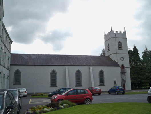 Saint Patrick's Redemptorist Monasterychurch/chapel · 783 yd
 Curraghmore FortFairy fort / earthen ringfort · 903 yd
 MoteCastle, motte and bailey · 1319 yd
 Badhbunmore Castle (in ruins)Castle, unclassified · 1.2 mi
 Moyard WoodWood · 1.5 mi
 Athenry AbbeyHeritage attraction · 3.1 mi
 Athenry CastleHeritage attraction · 3.2 mi
 Horse-chestnutHorse-chestnut · 3.4 mi
 First Battle of Athenrybattle · 3.7 mi
 Barrack IslandIslet · 7.0 mi